Transport Functions
Port
Hub Profile
Place type
Populated place
Region
Styria
Population
508
Time zone
Europe/Vienna
Elevation
882 m
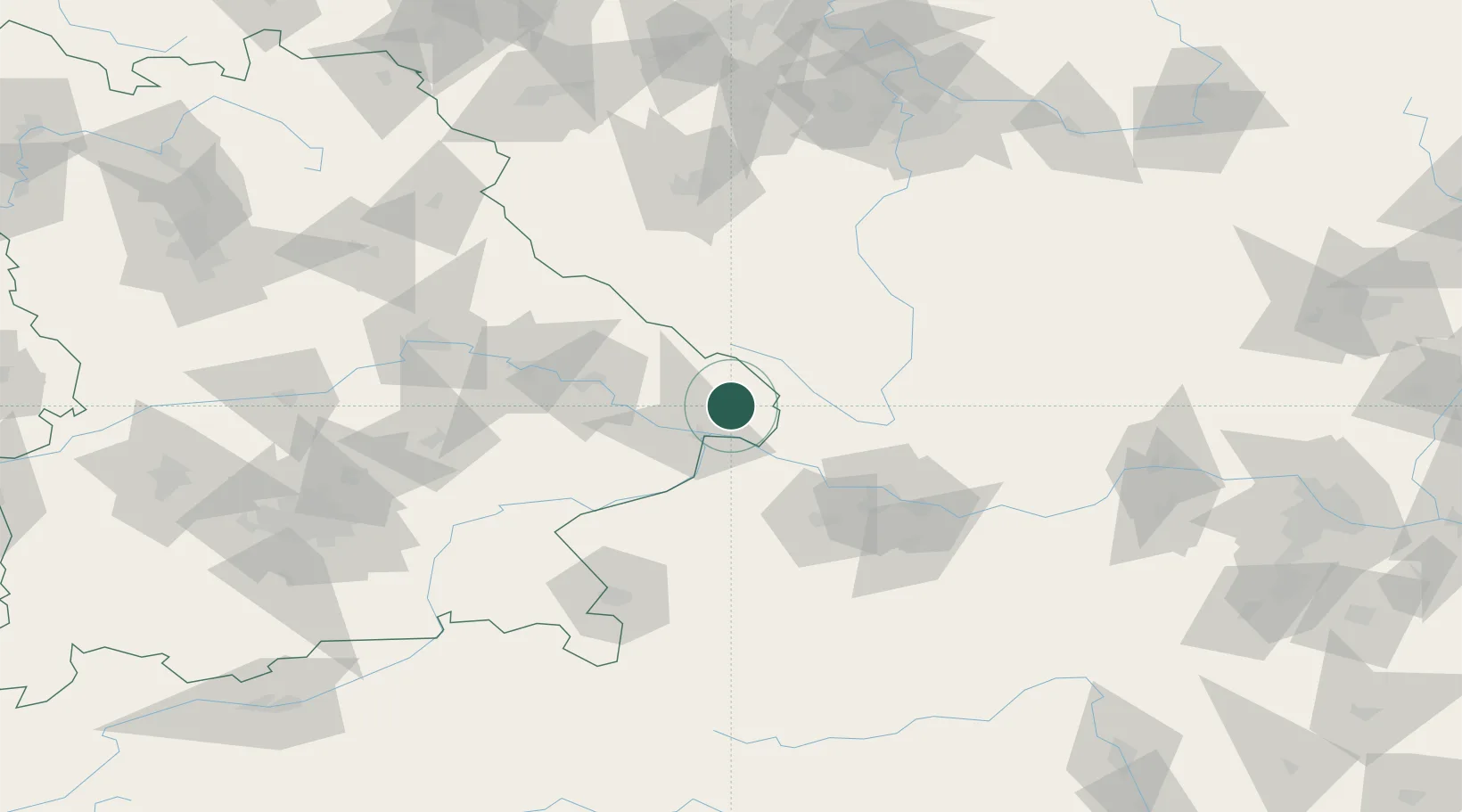
Location
Nearby Logistics Neighbours
Cities
- 1Röhrnbach4 km
- 2Hutthurm9 km
- 3Freyung10 km
- 4Sonnen11 km
- 5Neureichenau13 km
Ports
- 1Monfalcone326 km
- 2Nogaro330 km
- 3Grado337 km
- 4Trieste341 km
- 5Muggia347 km
Airports
- 1České Budějovice South Bohemian Airport67 km
- 2Linz-Hörsching Airport70 km
- 3Plzeň-Líně Airport109 km
- 4Salzburg Airport111 km
- 5Landshut Airfield116 km
Trade Zones
DatabookThe Record of Consolidated Knowledge
Austria beyond logistics?