Transport Functions
Rail
Road
Hub Profile
Place type
District seat
Region
Bavaria
Population
6,987
Time zone
Europe/Berlin
Elevation
653 m
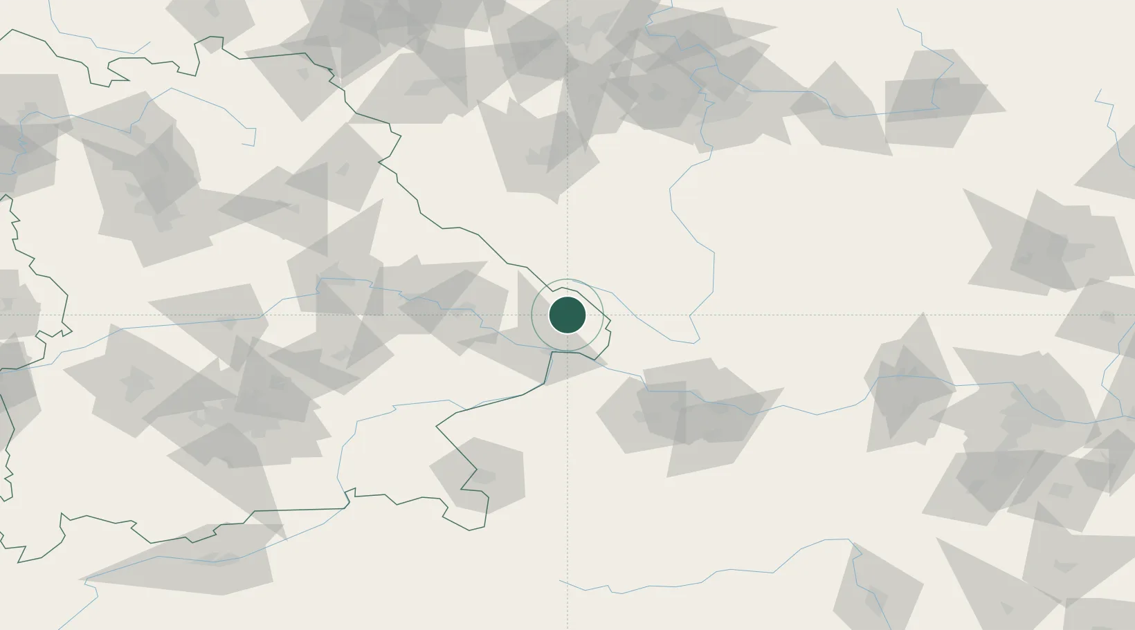
Location
Nearby Logistics Neighbours
Cities
- 1Röhrnbach8 km
- 2Falkenstein10 km
- 3Grafenau12 km
- 4Hutthurm16 km
- 5Neureichenau16 km
Ports
- 1Monfalcone335 km
- 2Nogaro339 km
- 3Grado346 km
- 4Trieste351 km
- 5Muggia356 km
Airports
- 1České Budějovice South Bohemian Airport66 km
- 2Linz-Hörsching Airport78 km
- 3Plzeň-Líně Airport99 km
- 4Landshut Airfield116 km
- 5Salzburg Airport119 km
Trade Zones
DatabookThe Record of Consolidated Knowledge
Germany beyond logistics?