Transport Functions
Road
Multimodal
Hub Profile
Place type
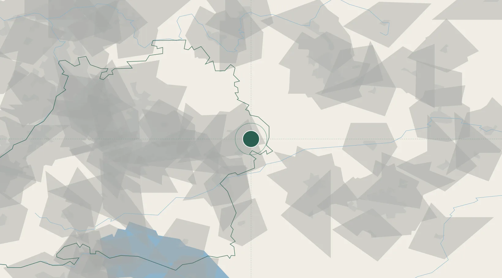
Populated place
Region
Baden-Wurttemberg
Time zone
Europe/Berlin
Elevation
647 m
Location
Nearby Logistics Neighbours
Cities
- 1Ebnat8 km
- 2Steinweiler9 km
- 3Riesbürg13 km
- 4Oberkochen14 km
- 5Hüttlingen15 km
Ports
- 1Nogaro404 km
- 2Porto Di Lido-Venezia412 km
- 3Grado415 km
- 4Monfalcone418 km
- 5Porto Di Chioggia427 km
Airports
- 1Adolf Würth Airport50 km
- 2Augsburg Airport65 km
- 3Niederstetten Army Air Base68 km
- 4Neuburg Air Base69 km
- 5Laupheim Air Base72 km
Trade Zones
- 1ZFU Neuhof188 km
- 2ZFU Hautepierre192 km
- 3Freeport of Deggendorf192 km
- 4ZFU La Cité Behren-lès-Forbach248 km
- 5ZFU Mulhouse248 km
DatabookThe Record of Consolidated Knowledge
Germany beyond logistics?