Transport Functions
Multimodal
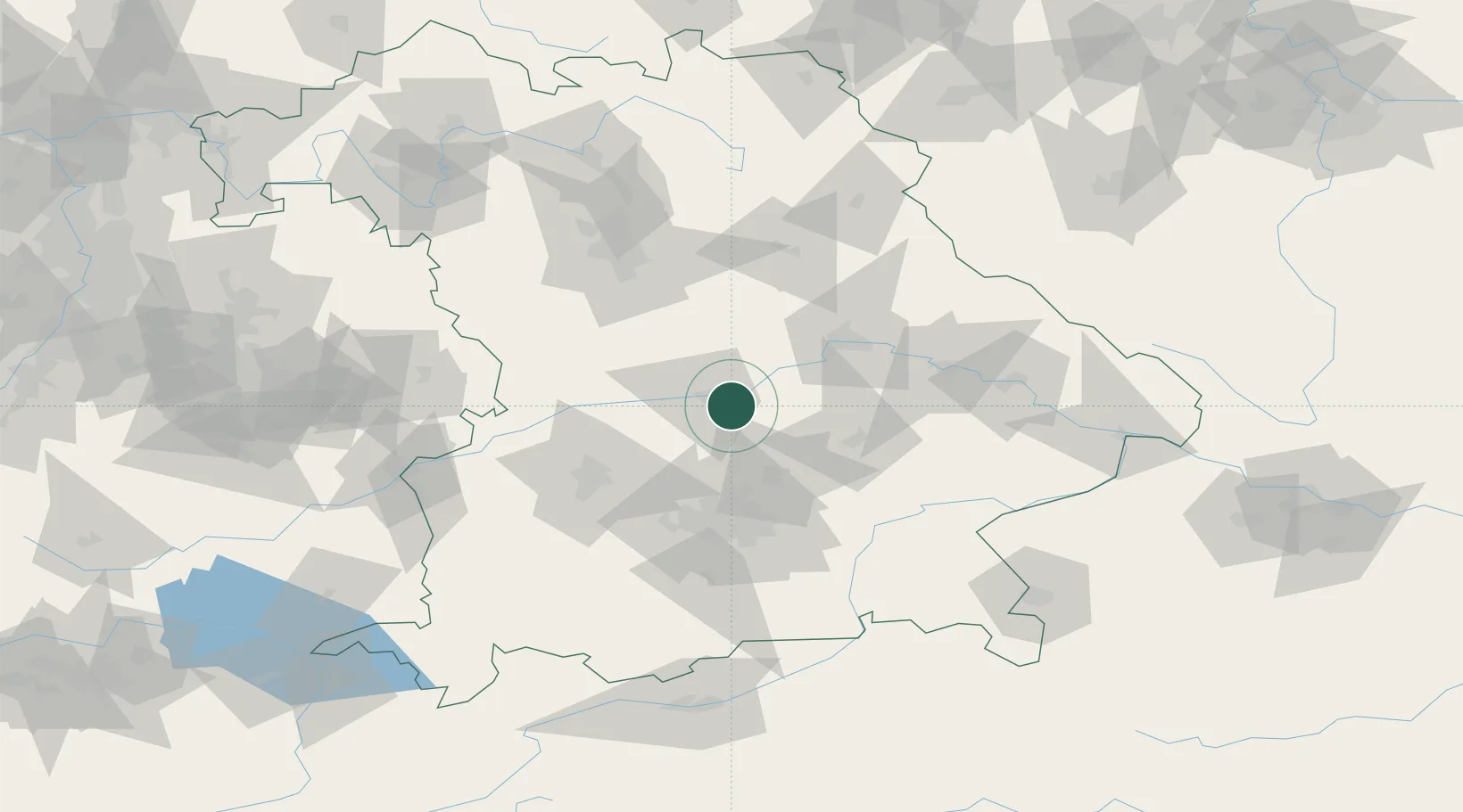
Hub Profile
Place type
Local administrative seat
Region
Bavaria
Population
1,445
Time zone
Europe/Berlin
Elevation
362 m
Location
Nearby Logistics Neighbours
Cities
- 1Manching5 km
- 2Geisenfeld5 km
- 3Vohburg an der Donau7 km
- 4Baar-Ebenhausen9 km
- 5Fahlenbach9 km
Ports
- 1Nogaro350 km
- 2Monfalcone359 km
- 3Grado360 km
- 4Porto Di Lido-Venezia373 km
- 5Trieste379 km
Airports
- 1Ingolstadt Manching Airport2 km
- 2Neuburg Air Base26 km
- 3Landshut Airfield41 km
- 4Munich Airport44 km
- 5Altstetten Ultralight Field50 km
Trade Zones
DatabookThe Record of Consolidated Knowledge
Germany beyond logistics?