UN/LOCODE hub · Germany
DEZGG

Görzig

51.6500°, 11.9833°
1
Transport functions

Transport Functions

Multimodal
UN/LOCODE

Hub Profile

Region
ST
GeoNames

Location

Location of DEZGG
Natural Earth 10m (public domain) · ST · DEZGG · 51.65, 11.98GoogleOSMYandex

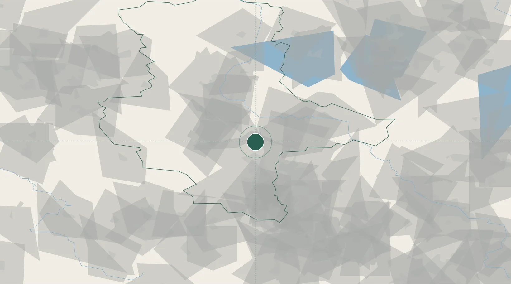
Nearby Logistics Neighbours

Cities
  1. 1Zörbig9 km
  2. 2Brachstedt10 km
  3. 3Oppin12 km
  4. 4Halle14 km
  5. 5Grosszöberitz14 km
Nearest neighbours — logibook spatial index (haversine) over the source coordinates
Ports
  1. 1Hamburg253 km
  2. 2Wismar253 km
  3. 3Lubeck263 km
  4. 4Lubeck-Travemunde268 km
  5. 5Bremen274 km
Nearest neighbours — logibook spatial index (haversine) over the source coordinates
Airports
  1. 1Leipzig/Halle Airport31 km
  2. 2Zerbst Airfield41 km
  3. 3Holzdorf Air Base83 km
  4. 4Leipzig–Altenburg Airport83 km
  5. 5Erfurt-Weimar Airport103 km
Nearest neighbours — logibook spatial index (haversine) over the source coordinates
Trade Zones
  1. 1Most - Joseph Industrial Zone174 km
  2. 2Žatec - Triangle Strategic Industrial Zone176 km
  3. 3Podbořany Industrial Zone187 km
  4. 4Kostrzyń-Słubice SEZ210 km
  5. 5Szczecin Duty Free Zone264 km
Nearest neighbours — logibook spatial index (haversine) over the source coordinates
DatabookThe Record of Consolidated Knowledge
Germany beyond logistics?
Browse databook

All Sources

LocationsUN/LOCODE
UN/LOCODE — free
Portsthe NGA World Port Index
Public domain (US gov)
AirportsOurAirports
Public domain
Trade Zonesthe World Bank SEZ database
CC BY 4.0
Trade ZonesOpen Zone Map
CC BY
← Germany locations