Transport Functions
Road
Multimodal
Hub Profile
Place type
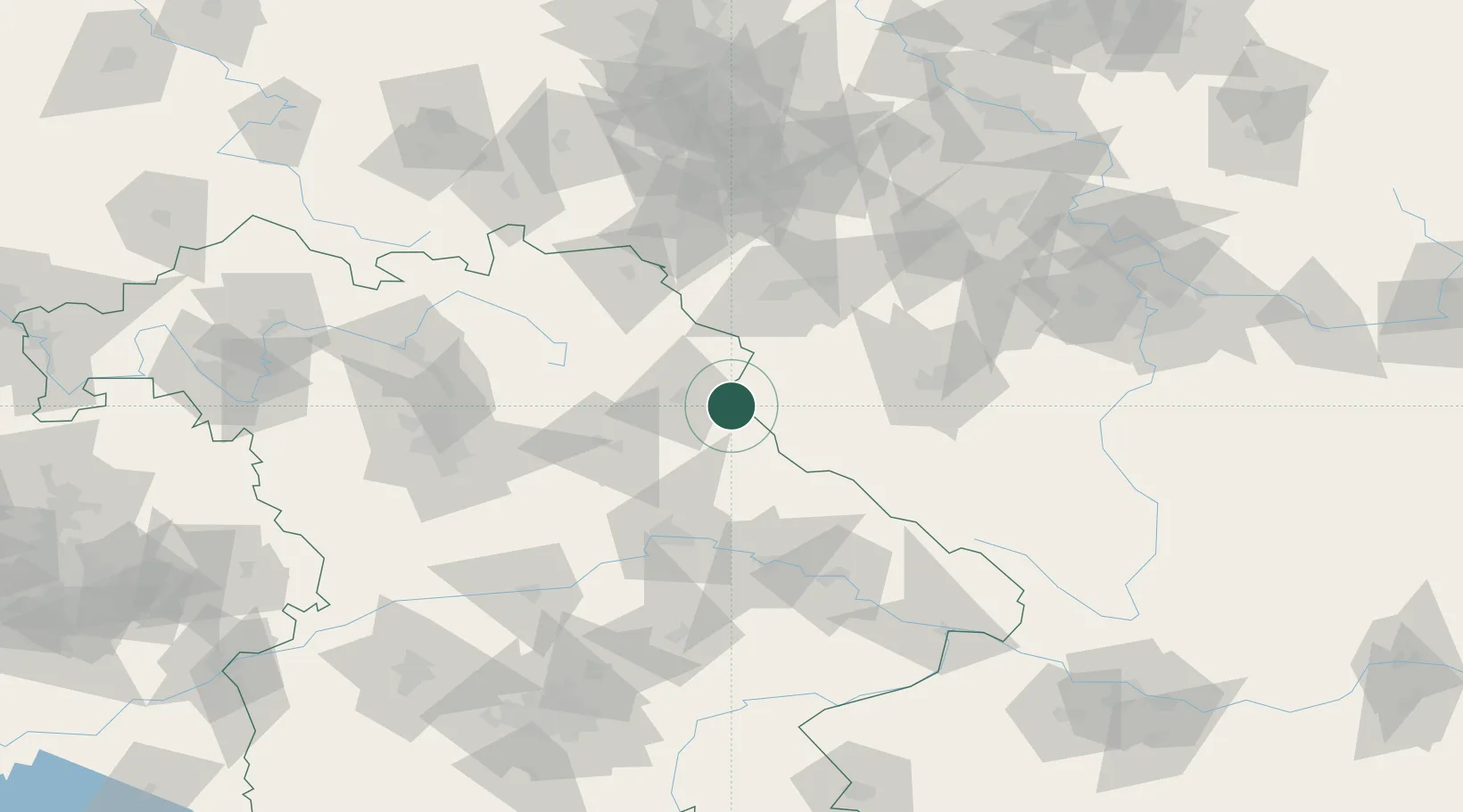
Populated place
Region
Bavaria
Population
2,730
Time zone
Europe/Berlin
Elevation
523 m
Location
Nearby Logistics Neighbours
Cities
- 1Grobenstadt6 km
- 2Eslarn10 km
- 3Pirk (Neustadt an der Waldnaab)18 km
- 4Barnau19 km
- 5Stein20 km
Ports
- 1Nogaro436 km
- 2Monfalcone438 km
- 3Szczecin444 km
- 4Grado445 km
- 5Trieste456 km
Airports
- 1Grafenwöhr Army Air Field35 km
- 2Plzeň-Líně Airport62 km
- 3Hohenfels Army Airfield64 km
- 4Bayreuth Airport67 km
- 5Karlovy Vary Airport71 km
Trade Zones
DatabookThe Record of Consolidated Knowledge
Germany beyond logistics?