Transport Functions
Multimodal
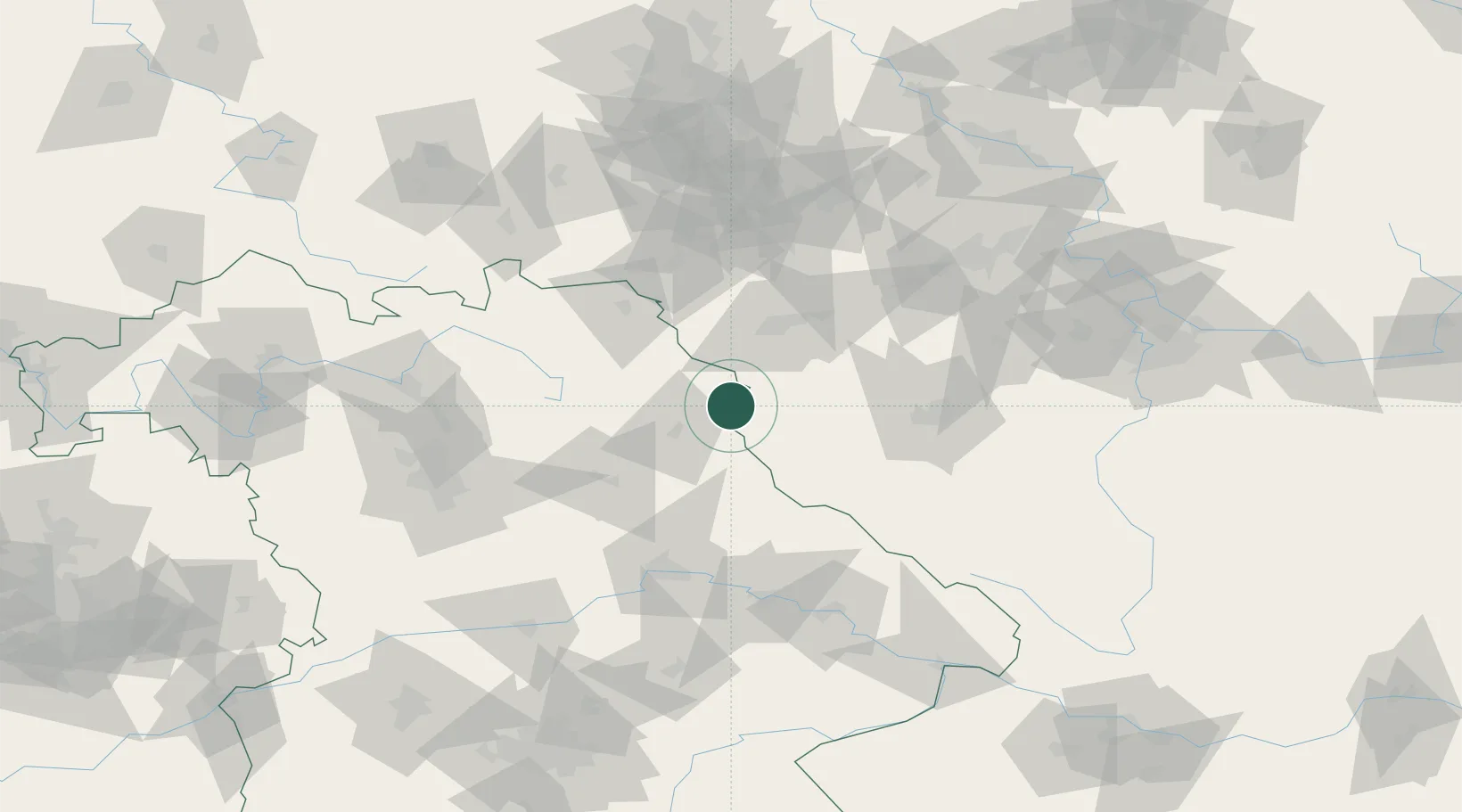
Hub Profile
Place type
Populated place
Region
Bavaria
Population
3,475
Time zone
Europe/Berlin
Elevation
608 m
Location
Nearby Logistics Neighbours
Cities
- 1Leonberg18 km
- 2Pleystein19 km
- 3Wiesau20 km
- 4Planá22 km
- 5Chodová Planá23 km
Airports
- 1Grafenwöhr Army Air Field38 km
- 2Karlovy Vary Airport55 km
- 3Bayreuth Airport60 km
- 4Plzeň-Líně Airport63 km
- 5Hof-Plauen Airport67 km
Trade Zones
DatabookThe Record of Consolidated Knowledge
Germany beyond logistics?