Transport Functions
Rail
Road
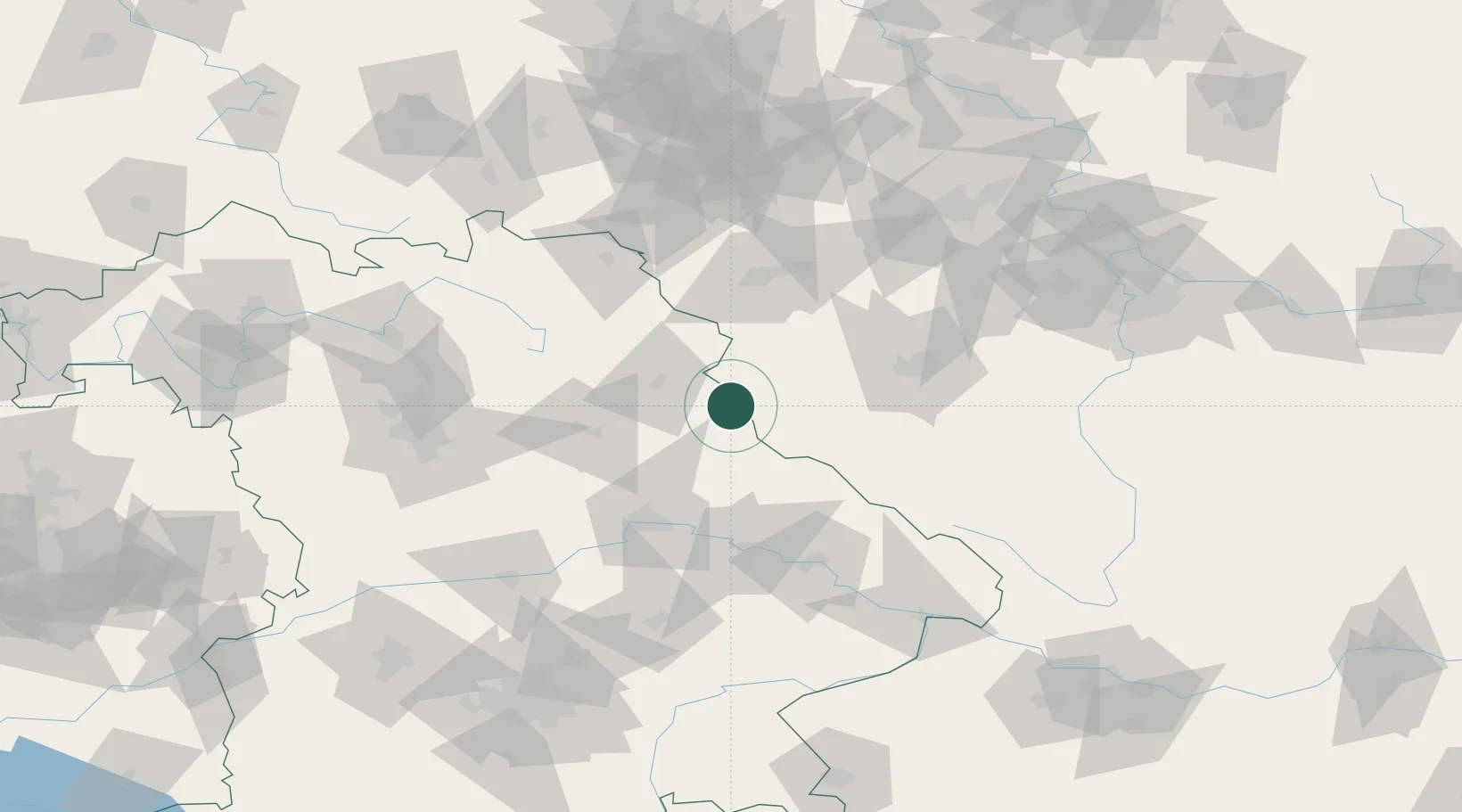
Hub Profile
Place type
Populated place
Region
Bavaria
Population
3,117
Time zone
Europe/Berlin
Elevation
514 m
Location
Nearby Logistics Neighbours
Cities
- 1Grobenstadt7 km
- 2Pleystein10 km
- 3Bela nad Radbuzou15 km
- 4Stein22 km
- 5Pirk (Neustadt an der Waldnaab)26 km
Ports
- 1Nogaro428 km
- 2Monfalcone430 km
- 3Grado436 km
- 4Trieste447 km
- 5Szczecin449 km
Airports
- 1Grafenwöhr Army Air Field43 km
- 2Plzeň-Líně Airport56 km
- 3Hohenfels Army Airfield64 km
- 4Karlovy Vary Airport75 km
- 5Bayreuth Airport77 km
Trade Zones
DatabookThe Record of Consolidated Knowledge
Germany beyond logistics?