UN/LOCODE hub · Germany
DESN2

Stein

49.5167°, 12.2333°
2
Transport functions

Transport Functions

Port
Multimodal
UN/LOCODE

Hub Profile

Place type
Populated place
GeoNames
Region
Bavaria
GeoNames
Time zone
Europe/Berlin
GeoNames
Elevation
415 m
GeoNames

Location

Location of DESN2
Natural Earth 10m (public domain) · Bavaria · DESN2 · 49.52, 12.23GoogleOSMYandex

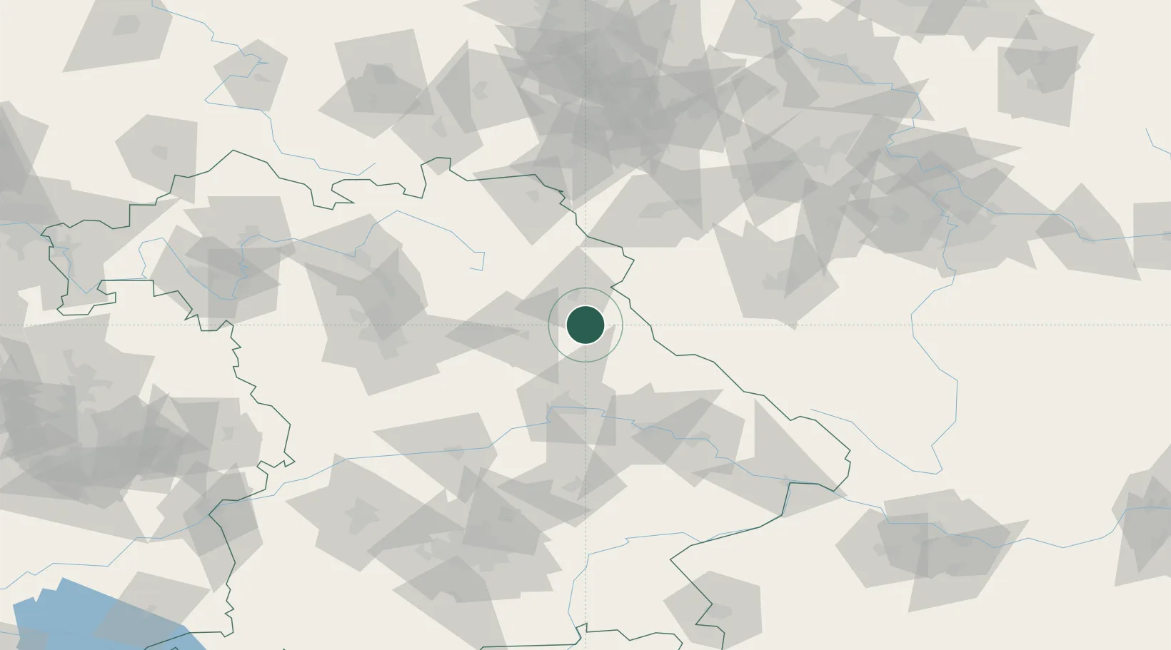
Nearby Logistics Neighbours

Cities
  1. 1Wernberg-Köblitz6 km
  2. 2Luhe-Wildenau10 km
  3. 3Stulln13 km
  4. 4Pirk (Neustadt an der Waldnaab)14 km
  5. 5Grobenstadt16 km
Nearest neighbours — logibook spatial index (haversine) over the source coordinates
Ports
  1. 1Nogaro424 km
  2. 2Monfalcone427 km
  3. 3Grado432 km
  4. 4Trieste445 km
  5. 5Muggia450 km
Nearest neighbours — logibook spatial index (haversine) over the source coordinates
Airports
  1. 1Grafenwöhr Army Air Field29 km
  2. 2Hohenfels Army Airfield44 km
  3. 3Bayreuth Airport67 km
  4. 4Plzeň-Líně Airport77 km
  5. 5Nuremberg Airport83 km
Nearest neighbours — logibook spatial index (haversine) over the source coordinates
Trade Zones
  1. 1Freeport of Deggendorf89 km
  2. 2Podbořany Industrial Zone115 km
  3. 3Žatec - Triangle Strategic Industrial Zone134 km
  4. 4Most - Joseph Industrial Zone147 km
  5. 5Kolín - Ovčáry Industrial Zone223 km
Nearest neighbours — logibook spatial index (haversine) over the source coordinates
DatabookThe Record of Consolidated Knowledge
Germany beyond logistics?
Browse databook

All Sources

LocationsUN/LOCODE
UN/LOCODE — free
Portsthe NGA World Port Index
Public domain (US gov)
AirportsOurAirports
Public domain
Trade Zonesthe World Bank SEZ database
CC BY 4.0
Trade ZonesOpen Zone Map
CC BY
← Germany locations