UN/LOCODE hub · Germany
DEGRY

Grobenstadt

49.6000°, 12.4167°
1
Transport functions

Transport Functions

Multimodal
UN/LOCODE

Hub Profile

Region
BY
GeoNames

Location

Location of DEGRY
Natural Earth 10m (public domain) · BY · DEGRY · 49.60, 12.42GoogleOSMYandex

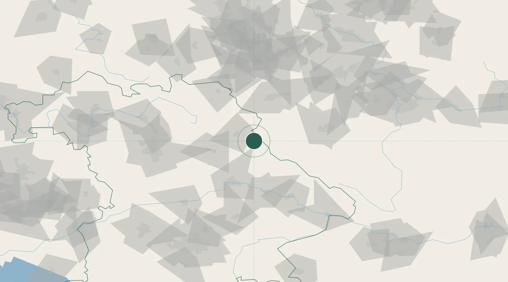
Nearby Logistics Neighbours

Cities
  1. 1Pleystein6 km
  2. 2Eslarn7 km
  3. 3Stein16 km
  4. 4Pirk (Neustadt an der Waldnaab)18 km
  5. 5Luhe-Wildenau19 km
Nearest neighbours — logibook spatial index (haversine) over the source coordinates
Ports
  1. 1Nogaro431 km
  2. 2Monfalcone433 km
  3. 3Grado439 km
  4. 4Szczecin449 km
  5. 5Trieste450 km
Nearest neighbours — logibook spatial index (haversine) over the source coordinates
Airports
  1. 1Grafenwöhr Army Air Field36 km
  2. 2Hohenfels Army Airfield60 km
  3. 3Plzeň-Líně Airport62 km
  4. 4Bayreuth Airport70 km
  5. 5Karlovy Vary Airport76 km
Nearest neighbours — logibook spatial index (haversine) over the source coordinates
Trade Zones
  1. 1Freeport of Deggendorf91 km
  2. 2Podbořany Industrial Zone99 km
  3. 3Žatec - Triangle Strategic Industrial Zone119 km
  4. 4Most - Joseph Industrial Zone132 km
  5. 5Kolín - Ovčáry Industrial Zone208 km
Nearest neighbours — logibook spatial index (haversine) over the source coordinates
DatabookThe Record of Consolidated Knowledge
Germany beyond logistics?
Browse databook

All Sources

LocationsUN/LOCODE
UN/LOCODE — free
Portsthe NGA World Port Index
Public domain (US gov)
AirportsOurAirports
Public domain
Trade Zonesthe World Bank SEZ database
CC BY 4.0
Trade ZonesOpen Zone Map
CC BY
← Germany locations