UN/LOCODE hub · Germany
DEPIK

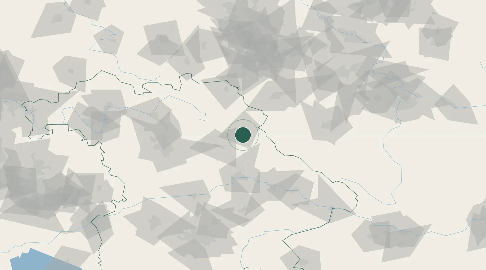
Pirk (Neustadt an der Waldnaab)

49.6333°, 12.1667°
2
Transport functions

Transport Functions

Road
Multimodal
UN/LOCODE

Hub Profile

Region
BY
GeoNames

Location

Location of DEPIK
Natural Earth 10m (public domain) · BY · DEPIK · 49.63, 12.17GoogleOSMYandex

Nearby Logistics Neighbours

Cities
  1. 1Luhe-Wildenau6 km
  2. 2Wernberg-Köblitz11 km
  3. 3Parkstein13 km
  4. 4Stein14 km
  5. 5Pleystein18 km
Nearest neighbours — logibook spatial index (haversine) over the source coordinates
Ports
  1. 1Nogaro437 km
  2. 2Monfalcone440 km
  3. 3Grado446 km
  4. 4Szczecin452 km
  5. 5Bremen455 km
Nearest neighbours — logibook spatial index (haversine) over the source coordinates
Airports
  1. 1Grafenwöhr Army Air Field18 km
  2. 2Hohenfels Army Airfield52 km
  3. 3Bayreuth Airport54 km
  4. 4Hof-Plauen Airport76 km
  5. 5Plzeň-Líně Airport80 km
Nearest neighbours — logibook spatial index (haversine) over the source coordinates
Trade Zones
  1. 1Freeport of Deggendorf102 km
  2. 2Podbořany Industrial Zone111 km
  3. 3Žatec - Triangle Strategic Industrial Zone129 km
  4. 4Most - Joseph Industrial Zone142 km
  5. 5Kolín - Ovčáry Industrial Zone225 km
Nearest neighbours — logibook spatial index (haversine) over the source coordinates
DatabookThe Record of Consolidated Knowledge
Germany beyond logistics?
Browse databook

All Sources

LocationsUN/LOCODE
UN/LOCODE — free
Portsthe NGA World Port Index
Public domain (US gov)
AirportsOurAirports
Public domain
Trade Zonesthe World Bank SEZ database
CC BY 4.0
Trade ZonesOpen Zone Map
CC BY
← Germany locations