UN/LOCODE hub · Germany
DESSB

Salching

48.8167°, 12.5667°
2,532
Population
1
Transport functions

Transport Functions

Multimodal
UN/LOCODE

Hub Profile

Place type
Local administrative seat
GeoNames
Region
Bavaria
GeoNames
Population
2,532
GeoNames
Time zone
Europe/Berlin
GeoNames
Elevation
348 m
GeoNames

Location

Location of DESSB
Natural Earth 10m (public domain) · Bavaria · DESSB · 48.82, 12.57GoogleOSMYandex

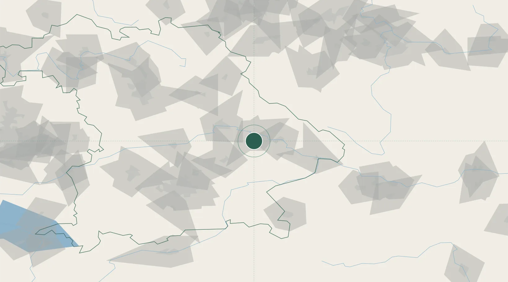
Nearby Logistics Neighbours

Cities
  1. 1Strasskirchen11 km
  2. 2Parkstetten11 km
  3. 3Geiselhöring14 km
  4. 4Kirchroth15 km
  5. 5Steinach15 km
Nearest neighbours — logibook spatial index (haversine) over the source coordinates
Ports
  1. 1Nogaro343 km
  2. 2Monfalcone345 km
  3. 3Grado351 km
  4. 4Trieste363 km
  5. 5Muggia369 km
Nearest neighbours — logibook spatial index (haversine) over the source coordinates
Airports
  1. 1Landshut Airfield52 km
  2. 2Hohenfels Army Airfield69 km
  3. 3Ingolstadt Manching Airport77 km
  4. 4Munich Airport77 km
  5. 5Neuburg Air Base100 km
Nearest neighbours — logibook spatial index (haversine) over the source coordinates
Trade Zones
  1. 1Freeport of Deggendorf25 km
  2. 2Podbořany Industrial Zone168 km
  3. 3Žatec - Triangle Strategic Industrial Zone189 km
  4. 4Most - Joseph Industrial Zone201 km
  5. 5Světlá nad Sázavou Municipal Industrial Zone228 km
Nearest neighbours — logibook spatial index (haversine) over the source coordinates
DatabookThe Record of Consolidated Knowledge
Germany beyond logistics?
Browse databook

All Sources

LocationsUN/LOCODE
UN/LOCODE — free
LocationsGeoNames
CC BY 4.0
Portsthe NGA World Port Index
Public domain (US gov)
AirportsOurAirports
Public domain
Trade Zonesthe World Bank SEZ database
CC BY 4.0
Trade ZonesOpen Zone Map
CC BY
← Germany locations