UN/LOCODE hub · Germany
DEPTD

Petersdorf

54.2167°, 12.4333°
2
Transport functions

Transport Functions

Port
Road
UN/LOCODE

Hub Profile

Place type
Populated place
GeoNames
Region
Mecklenburg-Vorpommern
GeoNames
Time zone
Europe/Berlin
GeoNames
Elevation
6 m
GeoNames

Location

Location of DEPTD
Natural Earth 10m (public domain) · Mecklenburg-Vorpommern · DEPTD · 54.22, 12.43GoogleOSMYandex

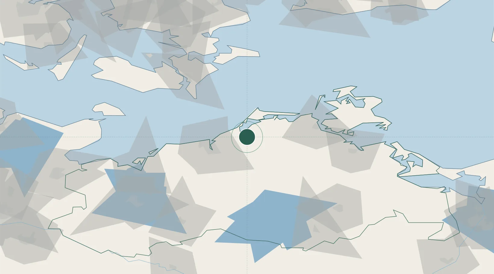
Nearby Logistics Neighbours

Cities
  1. 1Ribnitz-Damgarten4 km
  2. 2Plummendorf7 km
  3. 3Gelbensande9 km
  4. 4Langendamm10 km
  5. 5Dierhagen10 km
Nearest neighbours — logibook spatial index (haversine) over the source coordinates
Ports
  1. 1Rostock23 km
  2. 2Stralsund45 km
  3. 3Nysted68 km
  4. 4Nykobing71 km
  5. 5Wismar72 km
Nearest neighbours — logibook spatial index (haversine) over the source coordinates
Airports
  1. 1Rostock-Laage Airport35 km
  2. 2Lolland Falster Maribo Airport84 km
  3. 3Neubrandenburg Trollenhagen Airport89 km
  4. 4Heringsdorf Airport118 km
  5. 5Lübeck Blankensee Airport121 km
Nearest neighbours — logibook spatial index (haversine) over the source coordinates
Trade Zones
  1. 1Swinoujscie Duty Free Zone125 km
  2. 2Freeport of Kiel147 km
  3. 3MTS Malmö Transport and Spedition160 km
  4. 4Szczecin Duty Free Zone166 km
  5. 5Freeport of Copenhagen- Nordhavn167 km
Nearest neighbours — logibook spatial index (haversine) over the source coordinates
DatabookThe Record of Consolidated Knowledge
Germany beyond logistics?
Browse databook

All Sources

LocationsUN/LOCODE
UN/LOCODE — free
Portsthe NGA World Port Index
Public domain (US gov)
AirportsOurAirports
Public domain
Trade Zonesthe World Bank SEZ database
CC BY 4.0
Trade ZonesOpen Zone Map
CC BY
← Germany locations