Channel & Berth Profile
Pilotage, Tugs & Services
Pilotage compulsoryYES
Pilotage availableYES
Pilotage advisableYES
Local assistanceYES
Tug assistanceYES
Salvage tugsNO
Potable waterYES
Diesel bunkersYES
MedicalYES
Garbage disposalYES
Facilities & Capabilities
ContainerNO
Ro-RoNO
Liquid bulkNO
Dry bulkNO
Oil terminalNO
Break bulkNO
Dry dock—
RepairsNO
BunkeringYES
Rail linkYES
Dangerous cargo—
ISPS security—
Harbour Specifications
Harbour size
Small
Harbour type
River (Natural)
Shelter
Good
Water body
Baltic Sea; North Atlantic Ocean
Tidal range
1 m
Overhead limit
Yes
Pilotage
Yes
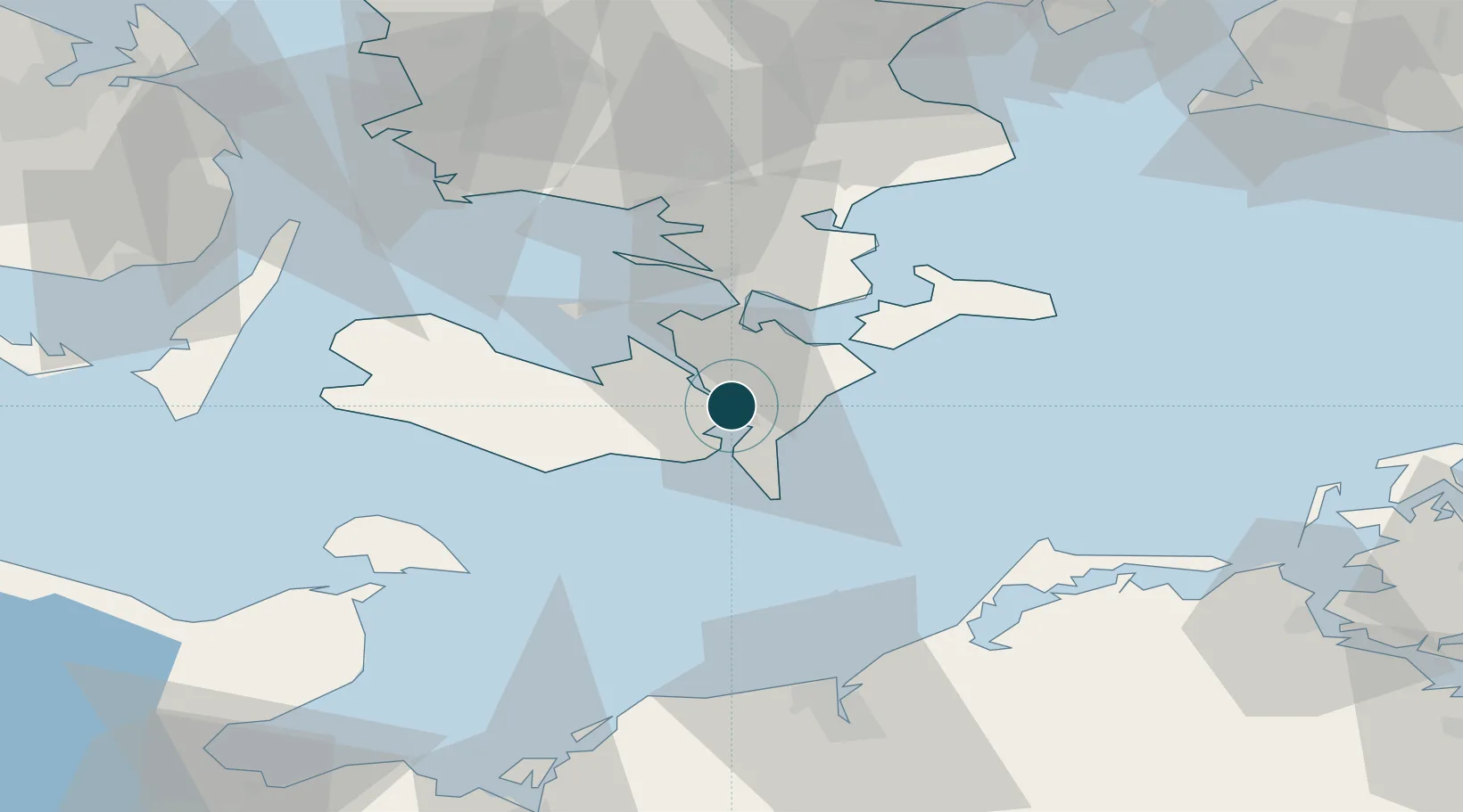
Location
Nearby Logistics Neighbours
Ports
- 1Nysted14 km
- 2Sakskobing15 km
- 3Stubbekobing18 km
- 4Bandholm25 km
- 5Vordingborg26 km
Cities
- 1Toreby5 km
- 2Væggerløse9 km
- 3Kettinge11 km
- 4Reersoe15 km
- 5Stubbekøbing18 km
Airports
- 1Lolland Falster Maribo Airport29 km
- 2Ringsted Airfield73 km
- 3Sydfyn (Tasinge) Airfield88 km
- 4Ærø Airfield91 km
- 5Copenhagen Roskilde Airport93 km
Trade Zones
- 1Freeport of Copenhagen- Nordhavn115 km
- 2Freeport of Kiel119 km
- 3MTS Malmö Transport and Spedition122 km
- 4Swinoujscie Duty Free Zone184 km
- 5Szczecin Duty Free Zone231 km
DatabookThe Record of Consolidated Knowledge
Denmark beyond logistics?