Transport Functions
Multimodal
Hub Profile
Place type
Populated place
Region
Mecklenburg-Vorpommern
Time zone
Europe/Berlin
Elevation
15 m
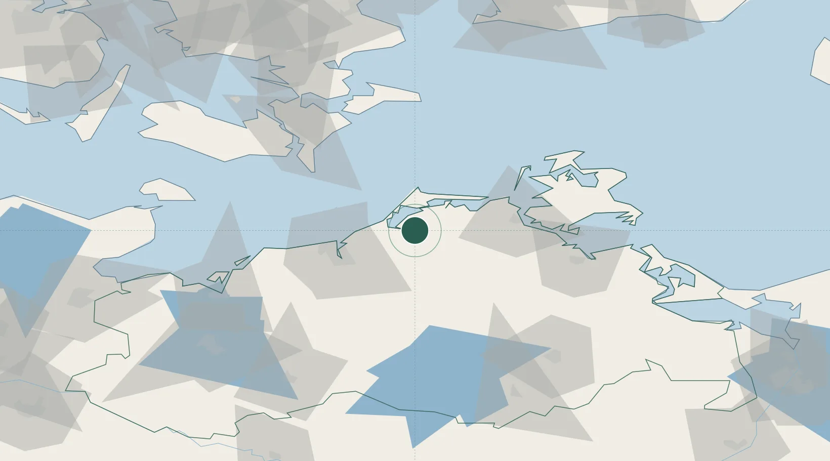
Location
Nearby Logistics Neighbours
Cities
- 1Ribnitz-Damgarten3 km
- 2Langendamm6 km
- 3Petersdorf7 km
- 4Dierhagen11 km
- 5Gelbensande15 km
Ports
- 1Rostock30 km
- 2Stralsund39 km
- 3Nysted69 km
- 4Nykobing71 km
- 5Stubbekobing77 km
Airports
Trade Zones
- 1Swinoujscie Duty Free Zone121 km
- 2Freeport of Kiel152 km
- 3MTS Malmö Transport and Spedition155 km
- 4Freeport of Copenhagen- Nordhavn163 km
- 5Szczecin Duty Free Zone163 km
DatabookThe Record of Consolidated Knowledge
Germany beyond logistics?