Transport Functions
Port
Road
Hub Profile
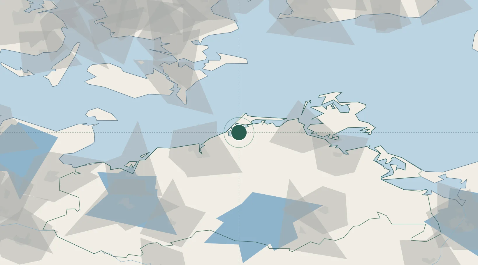
Place type
Populated place
Region
Mecklenburg-Vorpommern
Time zone
Europe/Berlin
Elevation
1 m
Location
Nearby Logistics Neighbours
Cities
- 1Ribnitz-Damgarten6 km
- 2Plummendorf6 km
- 3Dierhagen7 km
- 4Petersdorf10 km
- 5Gelbensande16 km
Ports
- 1Rostock31 km
- 2Stralsund41 km
- 3Nysted63 km
- 4Nykobing65 km
- 5Stubbekobing70 km
Airports
Trade Zones
- 1Swinoujscie Duty Free Zone126 km
- 2Freeport of Kiel149 km
- 3MTS Malmö Transport and Spedition151 km
- 4Freeport of Copenhagen- Nordhavn158 km
- 5Szczecin Duty Free Zone169 km
DatabookThe Record of Consolidated Knowledge
Germany beyond logistics?