Transport Functions
Port
Road
Hub Profile
Region
MV
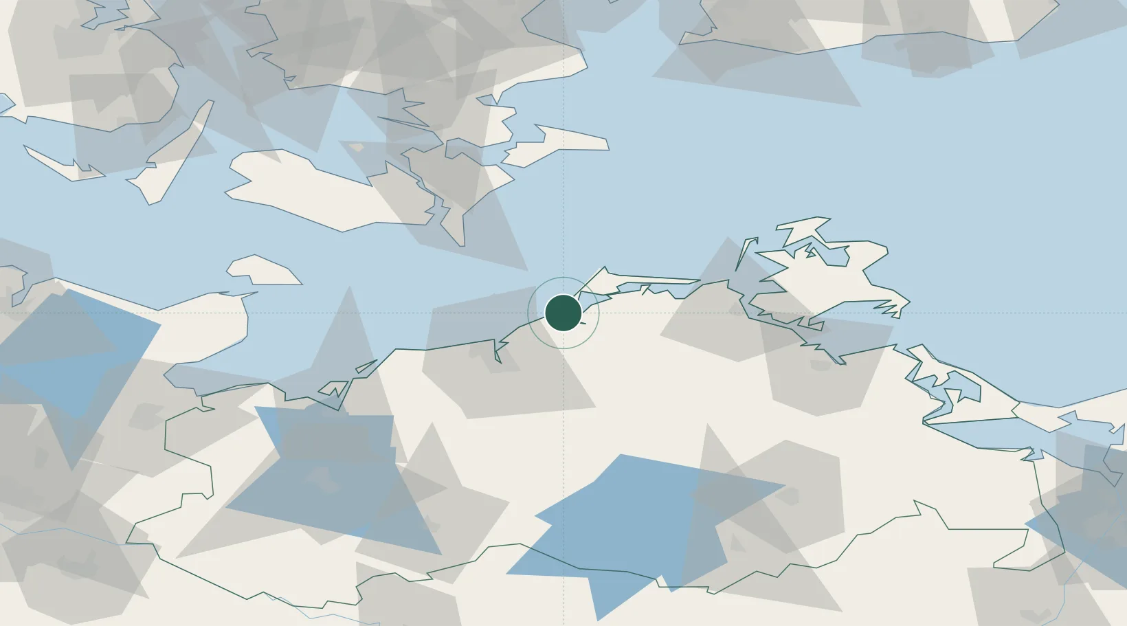
Location
Nearby Logistics Neighbours
Cities
- 1Langendamm7 km
- 2Ribnitz-Damgarten9 km
- 3Petersdorf10 km
- 4Graal-Müritz10 km
- 5Plummendorf11 km
Ports
- 1Rostock27 km
- 2Stralsund48 km
- 3Nysted58 km
- 4Nykobing61 km
- 5Stubbekobing68 km
Airports
Trade Zones
- 1Swinoujscie Duty Free Zone132 km
- 2Freeport of Kiel142 km
- 3MTS Malmö Transport and Spedition152 km
- 4Freeport of Copenhagen- Nordhavn158 km
- 5Szczecin Duty Free Zone175 km
DatabookThe Record of Consolidated Knowledge
Germany beyond logistics?