Transport Functions
Port
Hub Profile
Place type
Populated place
Region
Mecklenburg-Vorpommern
Population
1,774
Time zone
Europe/Berlin
Elevation
14 m
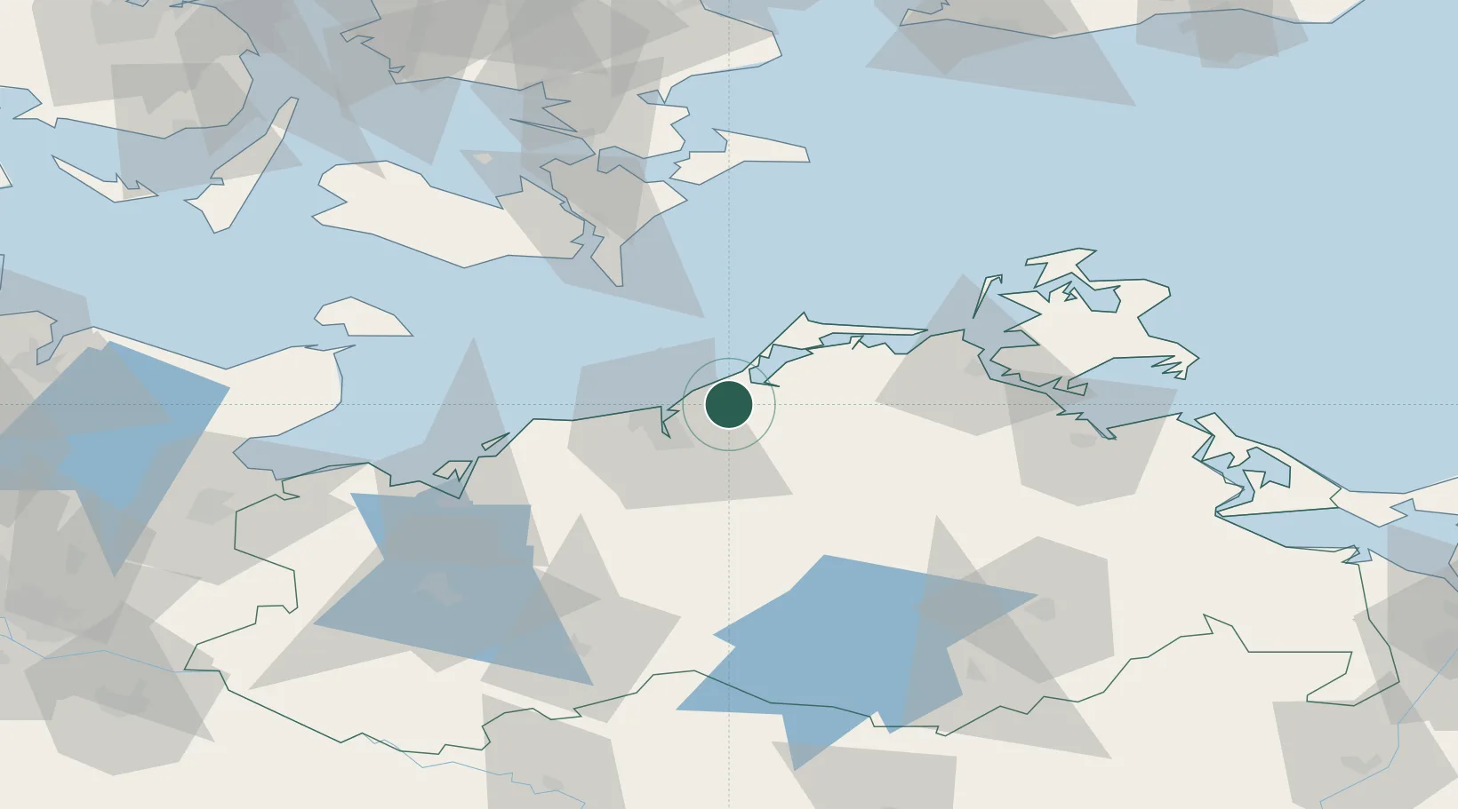
Location
Nearby Logistics Neighbours
Cities
- 1Rövershagen5 km
- 2Graal-Müritz7 km
- 3Petersdorf9 km
- 4Dierhagen12 km
- 5Ribnitz-Damgarten12 km
Airports
Trade Zones
- 1Swinoujscie Duty Free Zone133 km
- 2Freeport of Kiel139 km
- 3MTS Malmö Transport and Spedition164 km
- 4Freeport of Copenhagen- Nordhavn170 km
- 5Szczecin Duty Free Zone173 km
DatabookThe Record of Consolidated Knowledge
Germany beyond logistics?