UN/LOCODE hub · Germany
DERZD
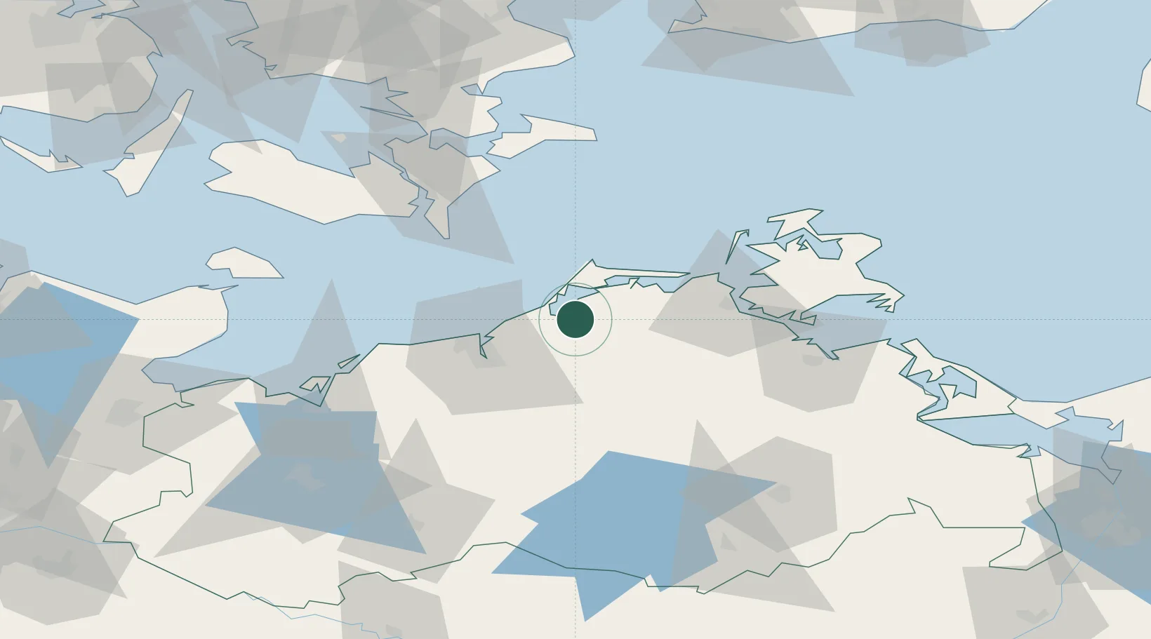
Ribnitz-Damgarten
54.2500°, 12.4667°
17,152
Population
2
Transport functions
Transport Functions
Rail
Road
Hub Profile
Place type
Populated place
Region
Mecklenburg-Vorpommern
Population
17,152
Time zone
Europe/Berlin
Elevation
6 m
Location
Nearby Logistics Neighbours
Cities
- 1Plummendorf3 km
- 2Petersdorf4 km
- 3Langendamm6 km
- 4Dierhagen9 km
- 5Gelbensande12 km
Ports
- 1Rostock27 km
- 2Stralsund42 km
- 3Nysted66 km
- 4Nykobing69 km
- 5Stubbekobing75 km
Airports
Trade Zones
- 1Swinoujscie Duty Free Zone124 km
- 2Freeport of Kiel149 km
- 3MTS Malmö Transport and Spedition156 km
- 4Freeport of Copenhagen- Nordhavn163 km
- 5Szczecin Duty Free Zone166 km
DatabookThe Record of Consolidated Knowledge
Germany beyond logistics?