Transport Functions
Multimodal
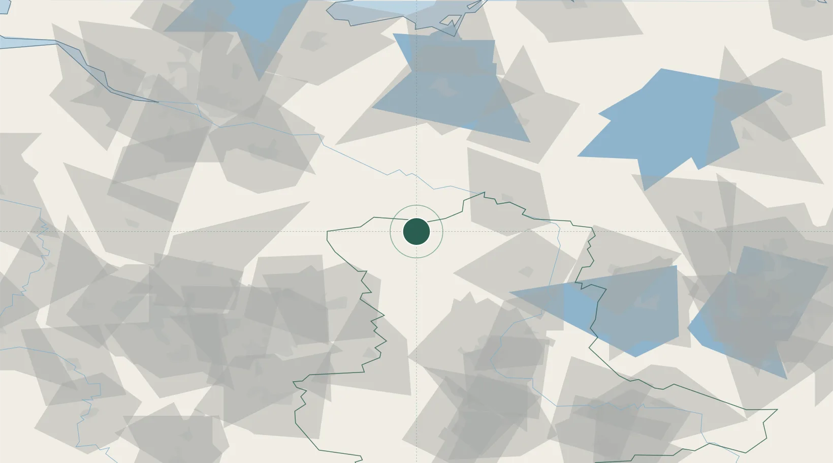
Hub Profile
Place type
Populated place
Region
Saxony-Anhalt
Population
1,310
Time zone
Europe/Berlin
Elevation
39 m
Location
Nearby Logistics Neighbours
Cities
- 1Apenburg13 km
- 2Arendsee17 km
- 3Luckau (Wendland)17 km
- 4Neulingen21 km
- 5Klötze25 km
Ports
- 1Hamburg119 km
- 2Wismar120 km
- 3Lubeck122 km
- 4Lubeck-Travemunde128 km
- 5Neustadt144 km
Airports
- 1Faßberg Air Base72 km
- 2Braunschweig-Wolfsburg Airport74 km
- 3Celle Army Airfield87 km
- 4Zerbst Airfield111 km
- 5Hannover Airport113 km
Trade Zones
DatabookThe Record of Consolidated Knowledge
Germany beyond logistics?