Transport Functions
Rail
Road
Hub Profile
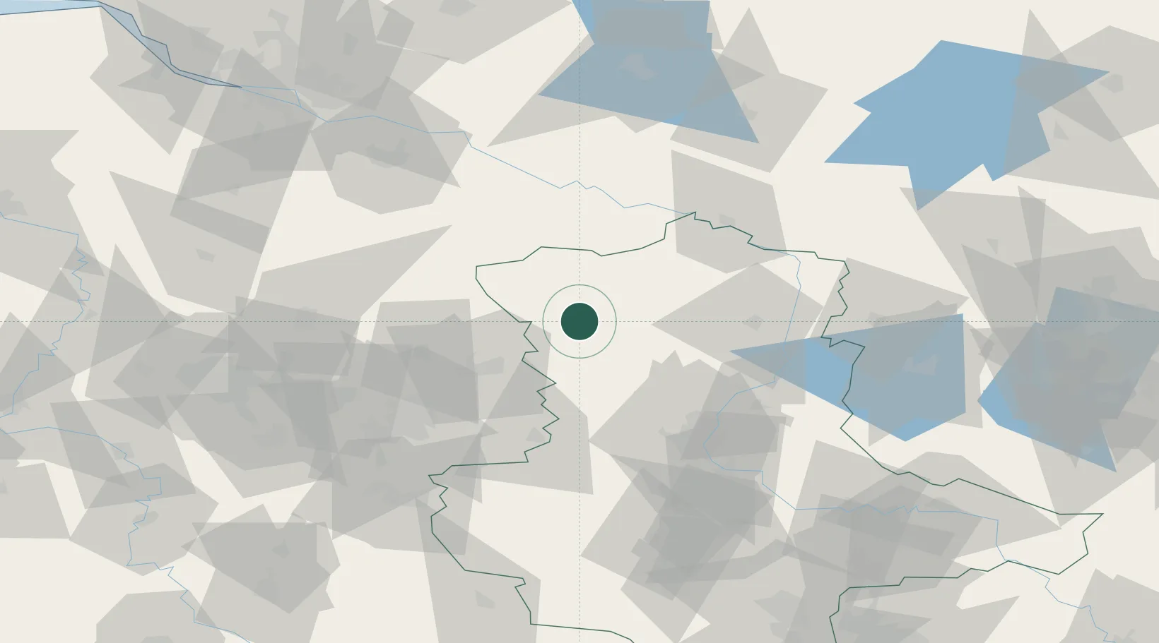
Region
ST
Location
Nearby Logistics Neighbours
Cities
- 1Apenburg11 km
- 2Mieste17 km
- 3Oebisfelde24 km
- 4Pretzier25 km
- 5Hinternah27 km
Ports
- 1Hamburg133 km
- 2Wismar144 km
- 3Lubeck144 km
- 4Lubeck-Travemunde151 km
- 5Butzfleth159 km
Airports
- 1Braunschweig-Wolfsburg Airport53 km
- 2Faßberg Air Base74 km
- 3Celle Army Airfield77 km
- 4Zerbst Airfield96 km
- 5Hannover Airport102 km
Trade Zones
DatabookThe Record of Consolidated Knowledge
Germany beyond logistics?