Transport Functions
Multimodal
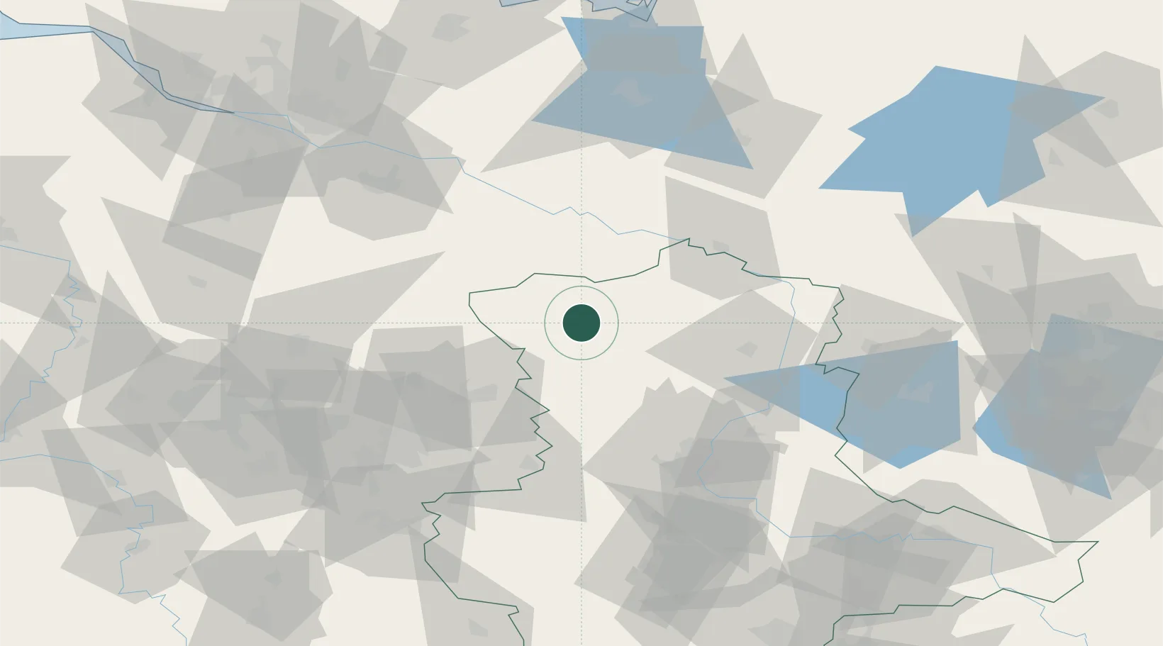
Hub Profile
Place type
Populated place
Region
Saxony-Anhalt
Population
947
Time zone
Europe/Berlin
Elevation
37 m
Location
Nearby Logistics Neighbours
Cities
- 1Klötze11 km
- 2Pretzier13 km
- 3Luckau (Wendland)26 km
- 4Arendsee27 km
- 5Mieste28 km
Ports
- 1Hamburg125 km
- 2Wismar133 km
- 3Lubeck134 km
- 4Lubeck-Travemunde141 km
- 5Butzfleth153 km
Airports
- 1Braunschweig-Wolfsburg Airport62 km
- 2Faßberg Air Base72 km
- 3Celle Army Airfield81 km
- 4Zerbst Airfield102 km
- 5Hannover Airport106 km
Trade Zones
DatabookThe Record of Consolidated Knowledge
Germany beyond logistics?