Transport Functions
Multimodal
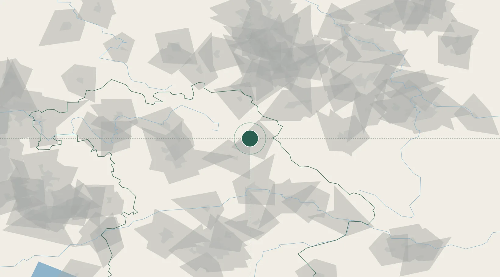
Hub Profile
Place type
Populated place
Region
Bavaria
Population
2,289
Time zone
Europe/Berlin
Elevation
511 m
Location
Nearby Logistics Neighbours
Cities
- 1Pressath10 km
- 2Pirk (Neustadt an der Waldnaab)13 km
- 3Freihung17 km
- 4Luhe-Wildenau18 km
- 5Wiesau22 km
Ports
- 1Bremen442 km
- 2Szczecin444 km
- 3Hamburg449 km
- 4Nogaro450 km
- 5Monfalcone453 km
Airports
- 1Grafenwöhr Army Air Field10 km
- 2Bayreuth Airport42 km
- 3Hohenfels Army Airfield60 km
- 4Hof-Plauen Airport64 km
- 5Nuremberg Airport76 km
Trade Zones
DatabookThe Record of Consolidated Knowledge
Germany beyond logistics?