Transport Functions
Port
Road
Hub Profile
Region
TH
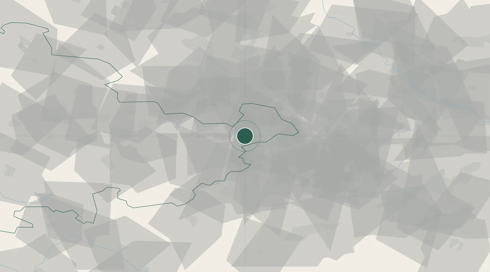
Location
Nearby Logistics Neighbours
Cities
- 1Schmölln7 km
- 2Ponitz10 km
- 3Gössnitz11 km
- 4Pölzig11 km
- 5Dittersdorf18 km
Airports
- 1Leipzig–Altenburg Airport20 km
- 2Leipzig/Halle Airport62 km
- 3Hof-Plauen Airport71 km
- 4Karlovy Vary Airport86 km
- 5Erfurt-Weimar Airport94 km
Trade Zones
DatabookThe Record of Consolidated Knowledge
Germany beyond logistics?