Transport Functions
Multimodal
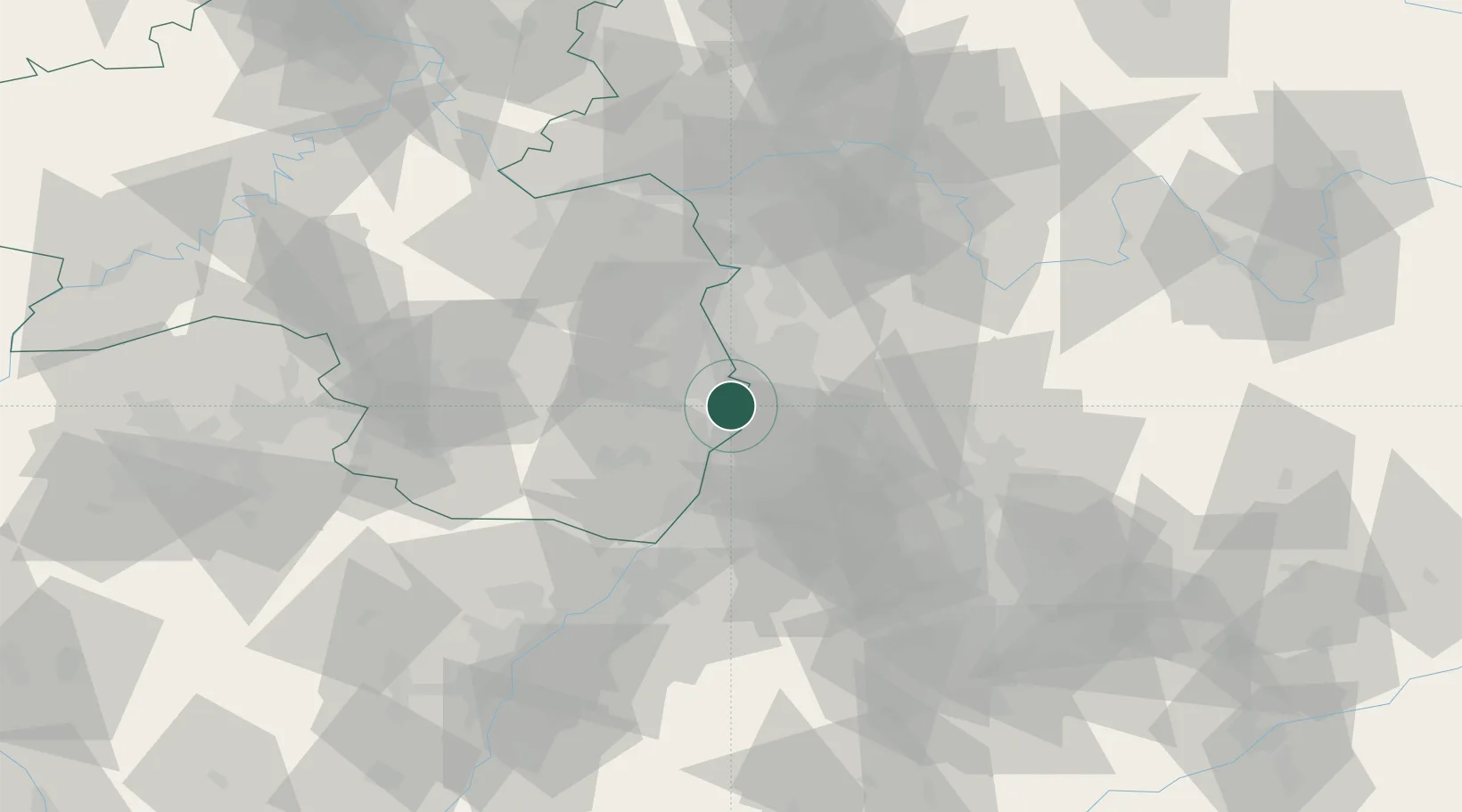
Hub Profile
Place type
Local administrative seat
Region
Rheinland-Pfalz
Population
3,282
Time zone
Europe/Berlin
Elevation
99 m
Location
Nearby Logistics Neighbours
Cities
- 1Neuhofen6 km
- 2Limburgerhof7 km
- 3Speyer8 km
- 4Neckarau10 km
- 5Oftersheim10 km
Airports
- 1Mannheim-City Airport13 km
- 2Ramstein Air Base62 km
- 3Frankfurt-Egelsbach Airport67 km
- 4Mainz-Finthen Airfield70 km
- 5Karlsruhe Baden-Baden Airport71 km
Trade Zones
- 1ZFU Hautepierre102 km
- 2ZFU Neuhof105 km
- 3ZFU La Cité Behren-lès-Forbach113 km
- 4Luxembourg Free Port164 km
- 5ZFU Metz169 km
DatabookThe Record of Consolidated Knowledge
Germany beyond logistics?