Transport Functions
Multimodal
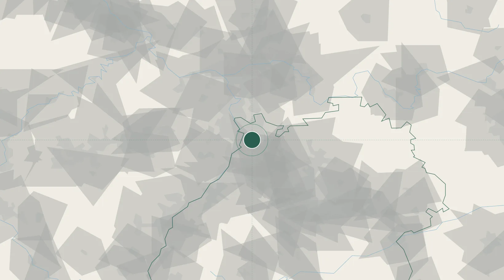
Hub Profile
Place type
Local administrative seat
Region
Baden-Wurttemberg
Population
10,100
Time zone
Europe/Berlin
Elevation
103 m
Location
Nearby Logistics Neighbours
Cities
- 1Kirchheim6 km
- 2Edingen8 km
- 3Edingen-Neckarhausen10 km
- 4Otterstadt10 km
- 5Heidelberg10 km
Airports
- 1Mannheim-City Airport13 km
- 2Frankfurt-Egelsbach Airport66 km
- 3Ramstein Air Base72 km
- 4Frankfurt Main Airport73 km
- 5Mainz-Finthen Airfield74 km
Trade Zones
- 1ZFU Hautepierre108 km
- 2ZFU Neuhof110 km
- 3ZFU La Cité Behren-lès-Forbach122 km
- 4Luxembourg Free Port173 km
- 5ZFU Metz178 km
DatabookThe Record of Consolidated Knowledge
Germany beyond logistics?