Transport Functions
Rail
Road
Hub Profile
Place type
Local administrative seat
Region
Rheinland-Pfalz
Population
10,753
Time zone
Europe/Berlin
Elevation
99 m
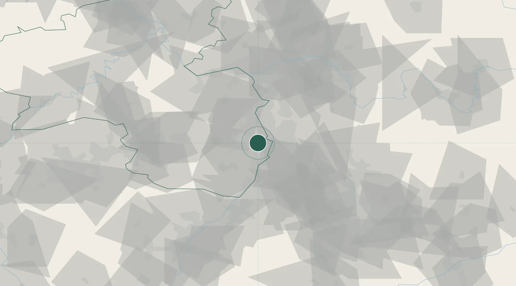
Location
Nearby Logistics Neighbours
Cities
- 1Neuhofen2 km
- 2Otterstadt7 km
- 3Neckarau8 km
- 4Mannheim9 km
- 5Fussgönheim9 km
Airports
- 1Mannheim-City Airport11 km
- 2Ramstein Air Base57 km
- 3Frankfurt-Egelsbach Airport63 km
- 4Mainz-Finthen Airfield64 km
- 5Frankfurt Main Airport69 km
Trade Zones
- 1ZFU Hautepierre104 km
- 2ZFU Neuhof107 km
- 3ZFU La Cité Behren-lès-Forbach109 km
- 4Luxembourg Free Port158 km
- 5ZFU Woippy-Metz165 km
DatabookThe Record of Consolidated Knowledge
Germany beyond logistics?