Transport Functions
Rail
Road
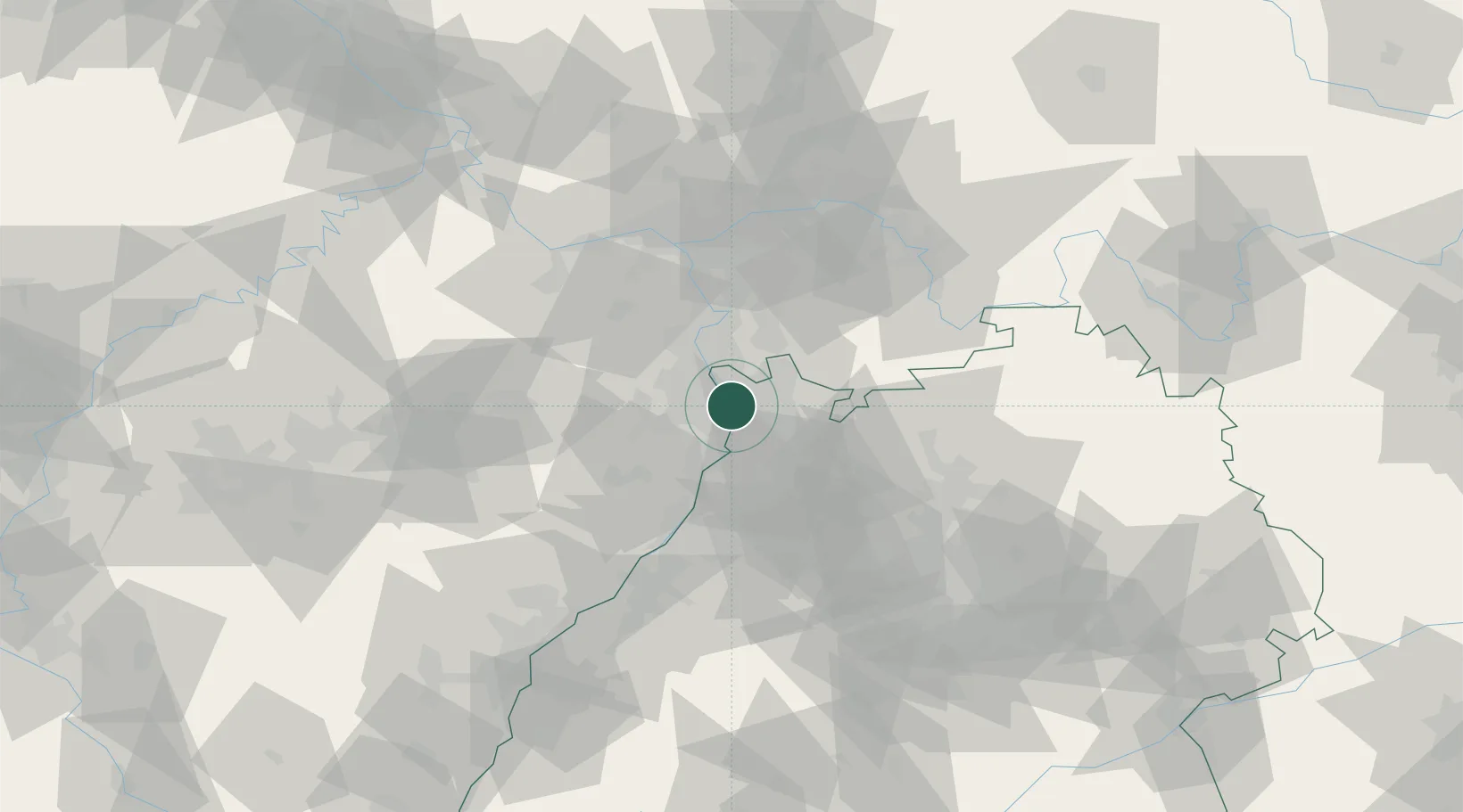
Hub Profile
Place type
Urban district
Region
Baden-Wurttemberg
Time zone
Europe/Berlin
Elevation
96 m
Location
Nearby Logistics Neighbours
Cities
- 1Mannheim3 km
- 2Neuhofen6 km
- 3Limburgerhof8 km
- 4Edingen9 km
- 5Otterstadt10 km
Airports
- 1Mannheim-City Airport3 km
- 2Frankfurt-Egelsbach Airport58 km
- 3Mainz-Finthen Airfield62 km
- 4Ramstein Air Base64 km
- 5Frankfurt Main Airport64 km
Trade Zones
- 1ZFU Hautepierre111 km
- 2ZFU Neuhof114 km
- 3ZFU La Cité Behren-lès-Forbach117 km
- 4Luxembourg Free Port165 km
- 5ZFU Woippy-Metz173 km
DatabookThe Record of Consolidated Knowledge
Germany beyond logistics?