Transport Functions
Rail
Road
Multimodal
Hub Profile
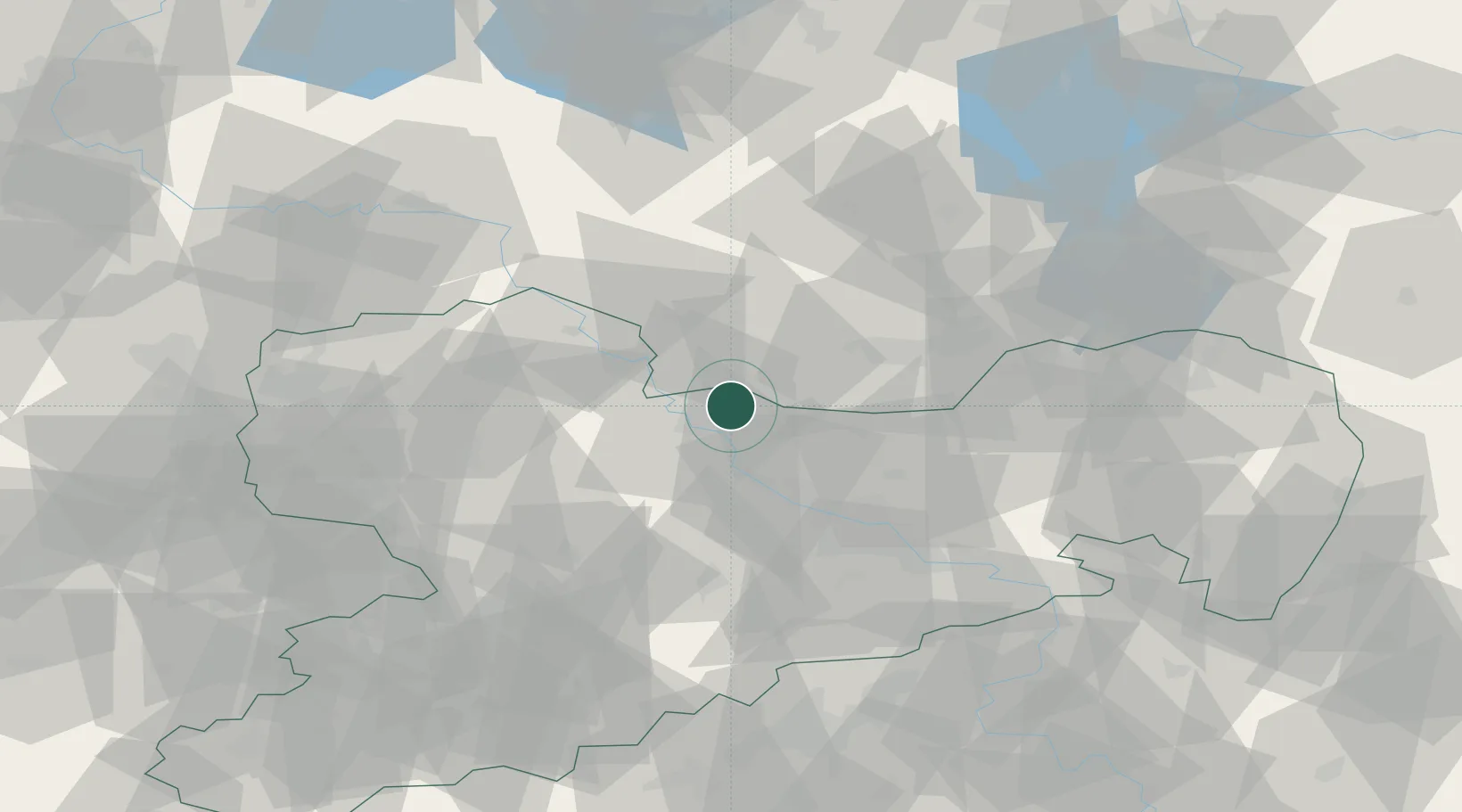
Place type
Local administrative seat
Region
Saxony
Population
1,877
Time zone
Europe/Berlin
Elevation
97 m
Location
Nearby Logistics Neighbours
Ports
- 1Szczecin241 km
- 2Police257 km
- 3Swinoujscie290 km
- 4Wolgast300 km
- 5Wismar310 km
Airports
- 1Dresden Airport36 km
- 2Holzdorf Air Base47 km
- 3Leipzig–Altenburg Airport76 km
- 4Leipzig/Halle Airport81 km
- 5Rothenburg/Görlitz Airfield108 km
Trade Zones
DatabookThe Record of Consolidated Knowledge
Germany beyond logistics?