Transport Functions
Port
Hub Profile
Place type
Locality
Region
Bavaria
Time zone
Europe/Berlin
Elevation
394 m
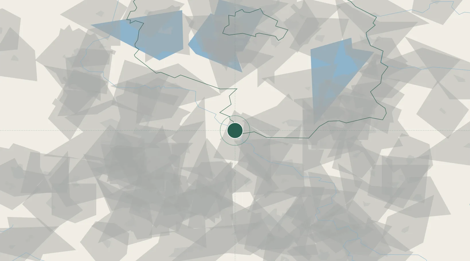
Location
Nearby Logistics Neighbours
Cities
- 1Martinskirchen4 km
- 2Kreinitz8 km
- 3Belgern9 km
- 4Strehla/Elbe9 km
- 5Gohlis10 km
Ports
- 1Szczecin238 km
- 2Police254 km
- 3Swinoujscie285 km
- 4Wolgast293 km
- 5Wismar299 km
Airports
- 1Holzdorf Air Base37 km
- 2Dresden Airport51 km
- 3Leipzig/Halle Airport68 km
- 4Leipzig–Altenburg Airport71 km
- 5Zerbst Airfield97 km
Trade Zones
DatabookThe Record of Consolidated Knowledge
Germany beyond logistics?