Transport Functions
Rail
Road
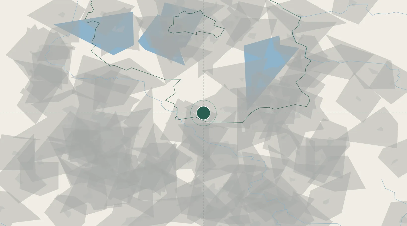
Hub Profile
Place type
Populated place
Region
Brandenburg
Population
9,694
Time zone
Europe/Berlin
Elevation
93 m
Logistics facilities
1
Location
Nearby Logistics Neighbours
Cities
- 1Gröditz7 km
- 2Plessa8 km
- 3Oschätzchen9 km
- 4Bad Liebenwerda9 km
- 5Wülknitz13 km
Ports
- 1Szczecin228 km
- 2Police244 km
- 3Swinoujscie277 km
- 4Wolgast288 km
- 5Wismar304 km
Airports
- 1Holzdorf Air Base41 km
- 2Dresden Airport41 km
- 3Leipzig–Altenburg Airport88 km
- 4Leipzig/Halle Airport88 km
- 5Berlin Brandenburg Airport100 km
Trade Zones
DatabookThe Record of Consolidated Knowledge
Germany beyond logistics?