Transport Functions
Rail
Road
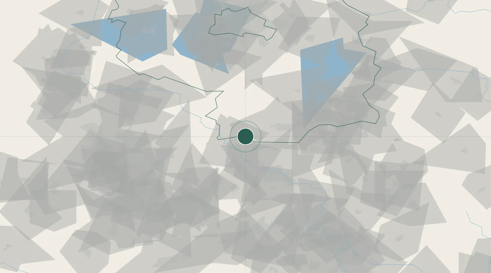
Hub Profile
Region
SN
Location
Nearby Logistics Neighbours
Cities
- 1Wülknitz7 km
- 2Elsterwerda7 km
- 3Oschätzchen7 km
- 4Zeithain12 km
- 5Bad Liebenwerda12 km
Ports
- 1Szczecin235 km
- 2Police251 km
- 3Swinoujscie283 km
- 4Wolgast294 km
- 5Wismar307 km
Airports
- 1Dresden Airport38 km
- 2Holzdorf Air Base44 km
- 3Leipzig–Altenburg Airport82 km
- 4Leipzig/Halle Airport84 km
- 5Rothenburg/Görlitz Airfield104 km
Trade Zones
DatabookThe Record of Consolidated Knowledge
Germany beyond logistics?