Transport Functions
Port
Rail
Road
Hub Profile
Place type
Local administrative seat
Region
Bavaria
Population
1,197
Time zone
Europe/Berlin
Elevation
565 m
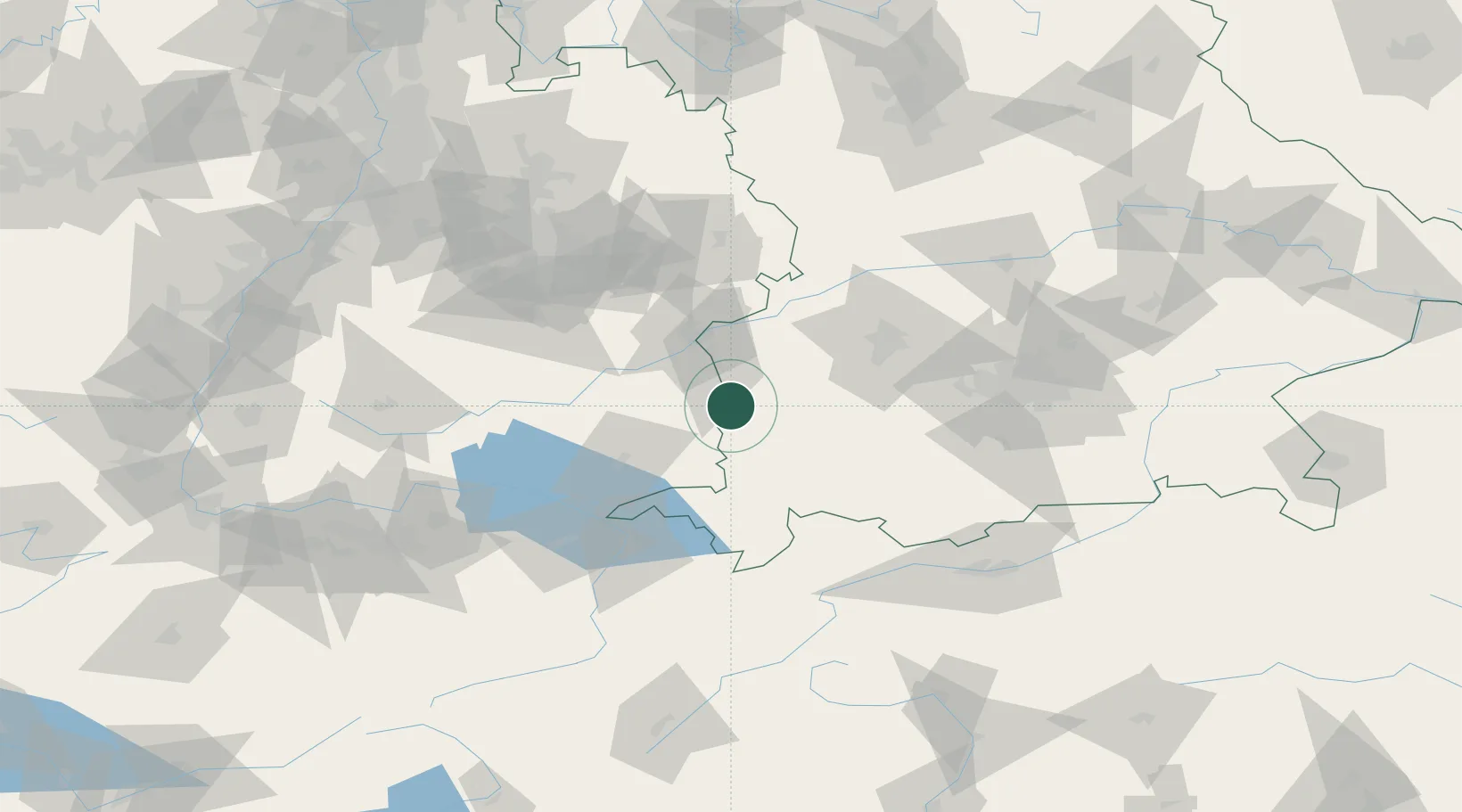
Location
Nearby Logistics Neighbours
Cities
- 1Unteropfingen1 km
- 2Niederrieden3 km
- 3Oberopfingen3 km
- 4Kirchberg an der Iller9 km
- 5Tannheim9 km
Ports
- 1Porto Di Lido-Venezia342 km
- 2Nogaro344 km
- 3Porto Di Chioggia355 km
- 4Grado356 km
- 5Monfalcone362 km
Airports
- 1Memmingen Allgau Airport11 km
- 2Laupheim Air Base25 km
- 3Lechfeld Air Base54 km
- 4Mengen-Hohentengen Airfield58 km
- 5Bodensee Airport Friedrichshafen65 km
Trade Zones
- 1Livigno Free Trade Zone171 km
- 2ZFU Neuhof184 km
- 3ZFU Hautepierre191 km
- 4ZFU Mulhouse213 km
- 5Freeport of Deggendorf221 km
DatabookThe Record of Consolidated Knowledge
Germany beyond logistics?