Transport Functions
Port
Rail
Road
Hub Profile
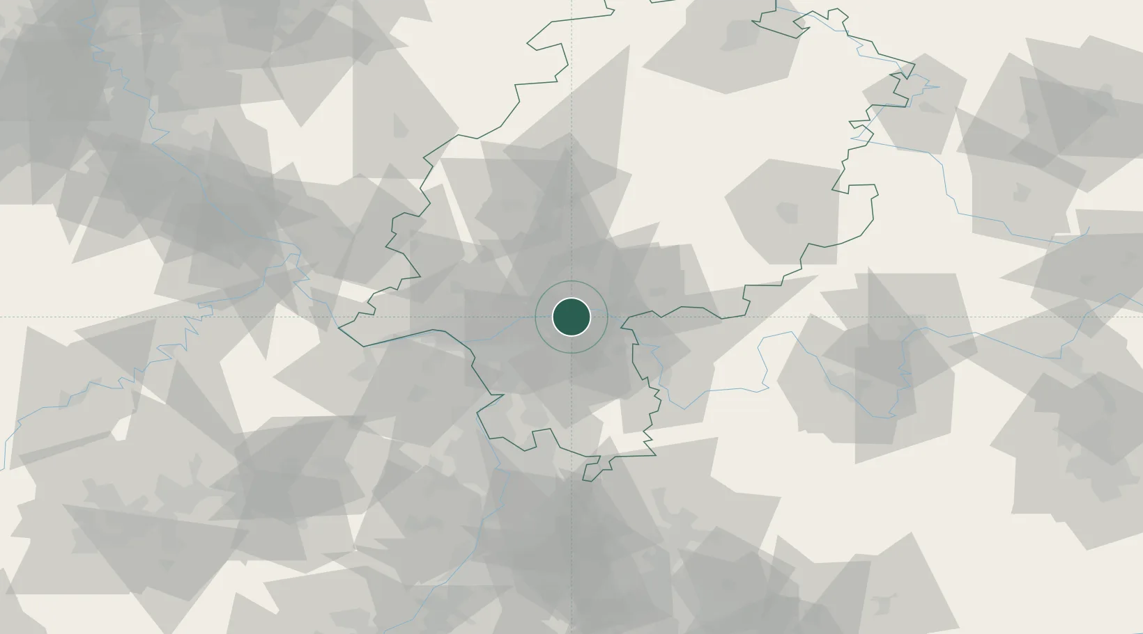
Place type
District seat
Region
Hesse
Population
119,192
Time zone
Europe/Berlin
Elevation
113 m
Location
Nearby Logistics Neighbours
Cities
- 1Mühlheim am Main5 km
- 2Neu Isenburg7 km
- 3Frankfurt am Main8 km
- 4Kesselstadt9 km
- 5Hanau10 km
Airports
- 1Frankfurt Main Airport17 km
- 2Frankfurt-Egelsbach Airport18 km
- 3Wiesbaden Army Airfield32 km
- 4Mainz-Finthen Airfield47 km
- 5Mannheim-City Airport72 km
Trade Zones
- 1ZFU La Cité Behren-lès-Forbach168 km
- 2ZFU Hautepierre185 km
- 3ZFU Neuhof188 km
- 4Luxembourg Free Port189 km
- 5Rheinische Revier SWZ191 km
DatabookThe Record of Consolidated Knowledge
Germany beyond logistics?