Transport Functions
Port
Rail
Road
Hub Profile
Place type
Populated place
Region
Hesse
Time zone
Europe/Berlin
Elevation
108 m
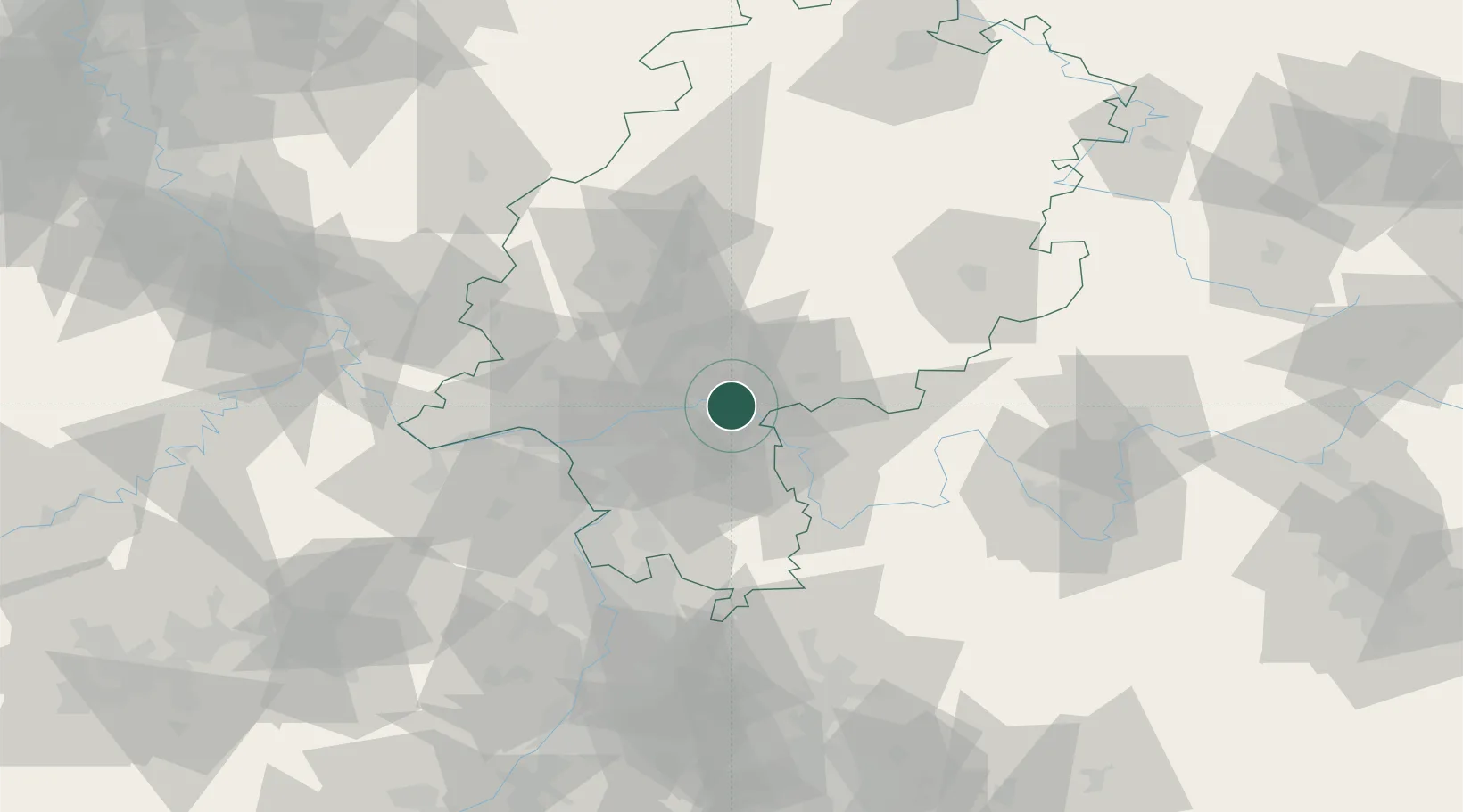
Location
Nearby Logistics Neighbours
Cities
- 1Hanau2 km
- 2Mühlheim am Main4 km
- 3Grossauheim5 km
- 4Hainburg5 km
- 5Bruchköbel8 km
Airports
- 1Frankfurt-Egelsbach Airport25 km
- 2Frankfurt Main Airport25 km
- 3Wiesbaden Army Airfield41 km
- 4Mainz-Finthen Airfield55 km
- 5Mannheim-City Airport76 km
Trade Zones
- 1ZFU La Cité Behren-lès-Forbach176 km
- 2ZFU Hautepierre190 km
- 3ZFU Neuhof193 km
- 4Rheinische Revier SWZ198 km
- 5Luxembourg Free Port198 km
DatabookThe Record of Consolidated Knowledge
Germany beyond logistics?