UN/LOCODE hub · Germany
DEFRA
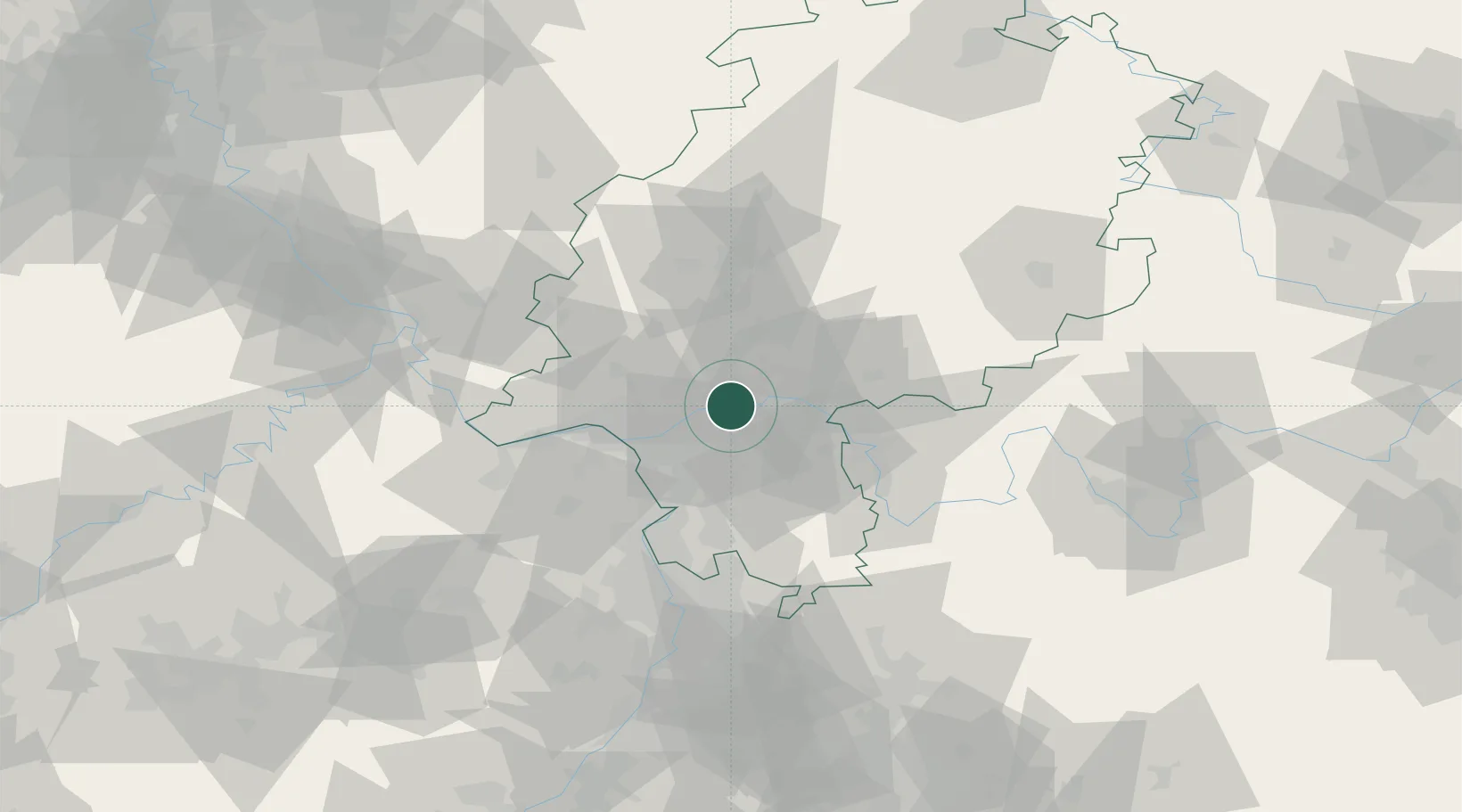
Frankfurt am Main
50.1063°, 8.6576°
650,000
Population
5
Transport functions
Transport Functions
Port
Rail
Road
Airport
Postal
Hub Profile
Place type
District seat
Region
Hesse
Population
650,000
Time zone
Europe/Berlin
Elevation
113 m
Logistics facilities
6
Location
Nearby Logistics Neighbours
Cities
- 1Neu Isenburg7 km
- 2Höchst8 km
- 3Offenbach8 km
- 4Mühlheim am Main13 km
- 5Hattersheim13 km
Airports
- 1Frankfurt Main Airport11 km
- 2Frankfurt-Egelsbach Airport16 km
- 3Wiesbaden Army Airfield25 km
- 4Mainz-Finthen Airfield40 km
- 5Mannheim-City Airport71 km
Trade Zones
- 1ZFU La Cité Behren-lès-Forbach163 km
- 2ZFU Hautepierre182 km
- 3Luxembourg Free Port182 km
- 4Rheinische Revier SWZ184 km
- 5ZFU Neuhof186 km
DatabookThe Record of Consolidated Knowledge
Germany beyond logistics?