Transport Functions
Port
Rail
Road
Hub Profile
Region
HE
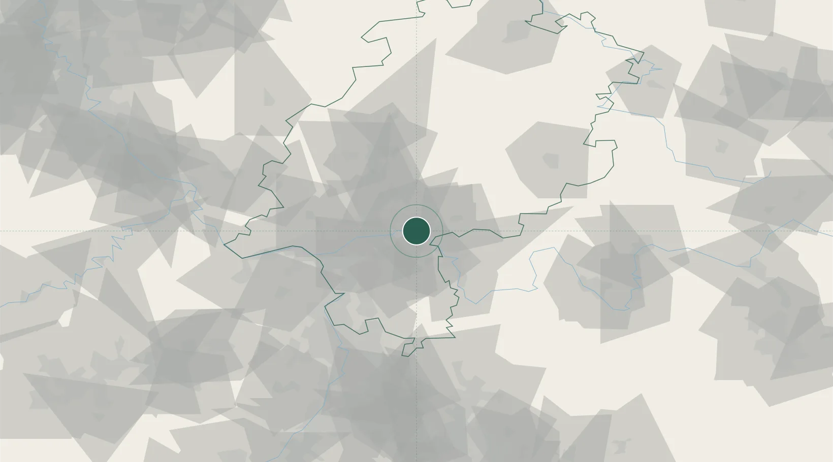
Location
Nearby Logistics Neighbours
Cities
- 1Kesselstadt2 km
- 2Mühlheim am Main5 km
- 3Grossauheim5 km
- 4Bruchköbel6 km
- 5Hainburg6 km
Airports
- 1Frankfurt-Egelsbach Airport27 km
- 2Frankfurt Main Airport27 km
- 3Wiesbaden Army Airfield42 km
- 4Mainz-Finthen Airfield57 km
- 5Mannheim-City Airport79 km
Trade Zones
- 1ZFU La Cité Behren-lès-Forbach178 km
- 2ZFU Hautepierre192 km
- 3ZFU Neuhof195 km
- 4Rheinische Revier SWZ198 km
- 5Luxembourg Free Port200 km
DatabookThe Record of Consolidated Knowledge
Germany beyond logistics?