Transport Functions
Rail
Road
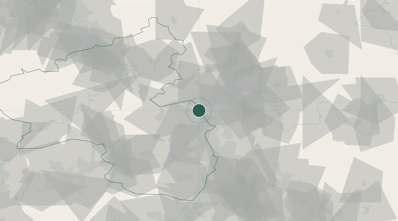
Hub Profile
Place type
Local administrative seat
Region
Rheinland-Pfalz
Population
6,907
Time zone
Europe/Berlin
Elevation
86 m
Location
Nearby Logistics Neighbours
Cities
- 1Mainz-Kostheim7 km
- 2Mommenheim8 km
- 3Selzen8 km
- 4Mainz9 km
- 5Bischofsheim9 km
Airports
- 1Mainz-Finthen Airfield12 km
- 2Wiesbaden Army Airfield13 km
- 3Frankfurt Main Airport21 km
- 4Frankfurt-Egelsbach Airport25 km
- 5Mannheim-City Airport53 km
Trade Zones
- 1ZFU La Cité Behren-lès-Forbach131 km
- 2Luxembourg Free Port153 km
- 3ZFU Hautepierre155 km
- 4ZFU Neuhof160 km
- 5Rheinische Revier SWZ174 km
DatabookThe Record of Consolidated Knowledge
Germany beyond logistics?