Transport Functions
Multimodal
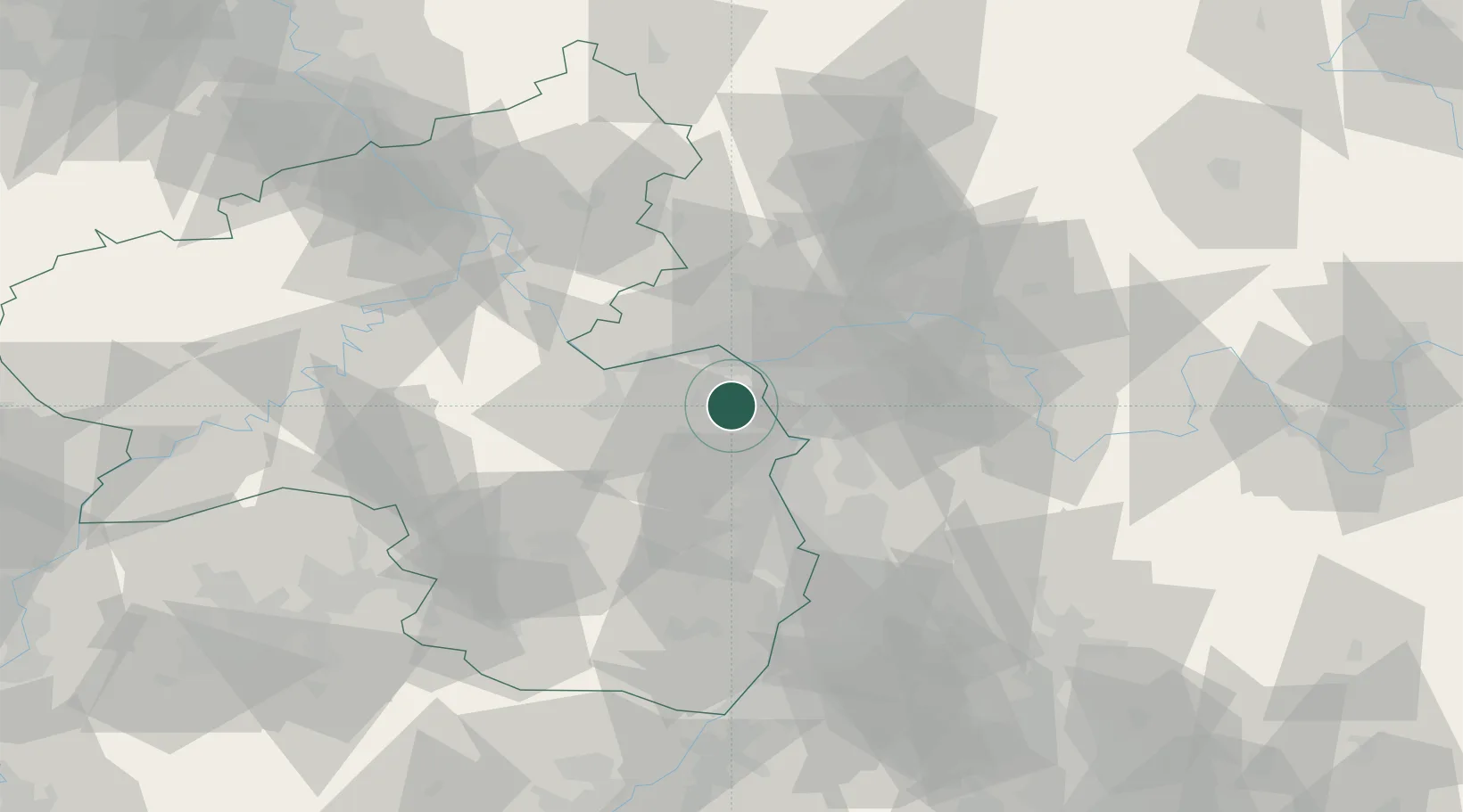
Hub Profile
Place type
Local administrative seat
Region
Rheinland-Pfalz
Population
1,557
Time zone
Europe/Berlin
Elevation
124 m
Location
Nearby Logistics Neighbours
Cities
- 1Mommenheim0 km
- 2Udenheim6 km
- 3Bechtolsheim7 km
- 4Bodenheim8 km
- 5Ludwigshöhe9 km
Airports
- 1Mainz-Finthen Airfield13 km
- 2Wiesbaden Army Airfield21 km
- 3Frankfurt Main Airport28 km
- 4Frankfurt-Egelsbach Airport30 km
- 5Mannheim-City Airport48 km
Trade Zones
- 1ZFU La Cité Behren-lès-Forbach123 km
- 2ZFU Hautepierre147 km
- 3Luxembourg Free Port148 km
- 4ZFU Neuhof152 km
- 5ZFU Woippy-Metz171 km
DatabookThe Record of Consolidated Knowledge
Germany beyond logistics?