Transport Functions
Rail
Road
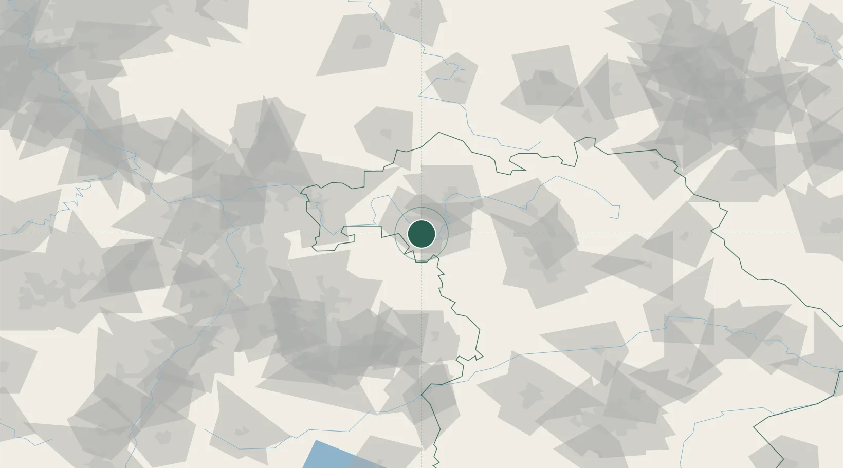
Hub Profile
Place type
Populated place
Region
Bavaria
Population
2,907
Time zone
Europe/Berlin
Elevation
183 m
Location
Nearby Logistics Neighbours
Cities
- 1Sommerhausen4 km
- 2Ochsenfurt9 km
- 3Gaukönigshofen9 km
- 4Rottendorf (Wurzburg)10 km
- 5Höchberg11 km
Airports
- 1Niederstetten Army Air Base36 km
- 2Adolf Würth Airport68 km
- 3Bamberg-Breitenau Airfield71 km
- 4Nuremberg Airport83 km
- 5Frankfurt-Egelsbach Airport100 km
Trade Zones
- 1ZFU Neuhof208 km
- 2ZFU Hautepierre208 km
- 3ZFU La Cité Behren-lès-Forbach229 km
- 4Luxembourg Free Port271 km
- 5ZFU Woippy-Metz284 km
DatabookThe Record of Consolidated Knowledge
Germany beyond logistics?