Transport Functions
Multimodal
Hub Profile
Place type
Local administrative seat
Region
Saxony
Time zone
Europe/Berlin
Elevation
715 m
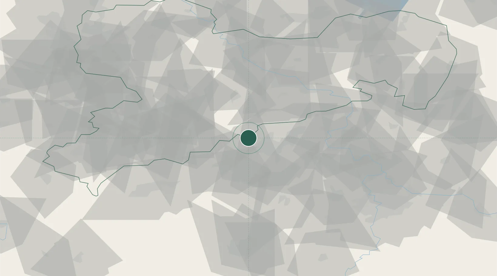
Location
Nearby Logistics Neighbours
Cities
- 1Deutscheinsiedel4 km
- 2Neuhausen8 km
- 3Olbernhau11 km
- 4Krasna Lipa14 km
- 5Rechenberg-Bienenmühle16 km
Ports
- 1Szczecin322 km
- 2Police339 km
- 3Swinoujscie373 km
- 4Wolgast384 km
- 5Wismar391 km
Airports
- 1Karlovy Vary Airport58 km
- 2Dresden Airport63 km
- 3Leipzig–Altenburg Airport79 km
- 4Vodochody Airport79 km
- 5Václav Havel Airport Prague80 km
Trade Zones
DatabookThe Record of Consolidated Knowledge
Germany beyond logistics?