Transport Functions
Rail
Road
Hub Profile
Region
HE
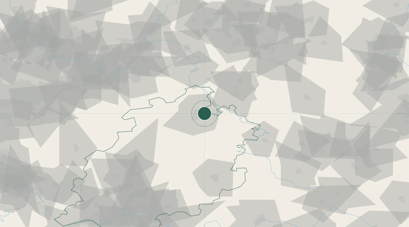
Location
Nearby Logistics Neighbours
Cities
- 1Kaufungen5 km
- 2Kassel6 km
- 3Fuldatal7 km
- 4Vellmar8 km
- 5Hannoversch Münden14 km
Airports
- 1Kassel Airport17 km
- 2Fritzlar Army Airfield30 km
- 3Eisenach-Kindel Airport73 km
- 4Paderborn Lippstadt Airport74 km
- 5Bielefeld Airport101 km
Trade Zones
DatabookThe Record of Consolidated Knowledge
Germany beyond logistics?