Transport Functions
Rail
Road
Hub Profile
Region
NI
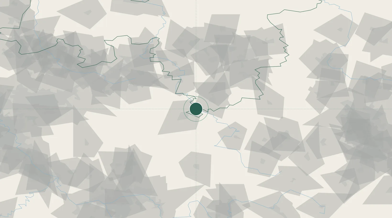
Location
Nearby Logistics Neighbours
Cities
- 1Bühren bei Göttingen7 km
- 2Fuldatal9 km
- 3Reinhardshagen9 km
- 4Dransfeld11 km
- 5Niestetal14 km
Airports
- 1Kassel Airport20 km
- 2Fritzlar Army Airfield44 km
- 3Eisenach-Kindel Airport73 km
- 4Paderborn Lippstadt Airport77 km
- 5Bielefeld Airport99 km
Trade Zones
DatabookThe Record of Consolidated Knowledge
Germany beyond logistics?