Transport Functions
Rail
Road
Hub Profile
Place type
Local administrative seat
Region
Hesse
Population
12,186
Time zone
Europe/Berlin
Elevation
172 m
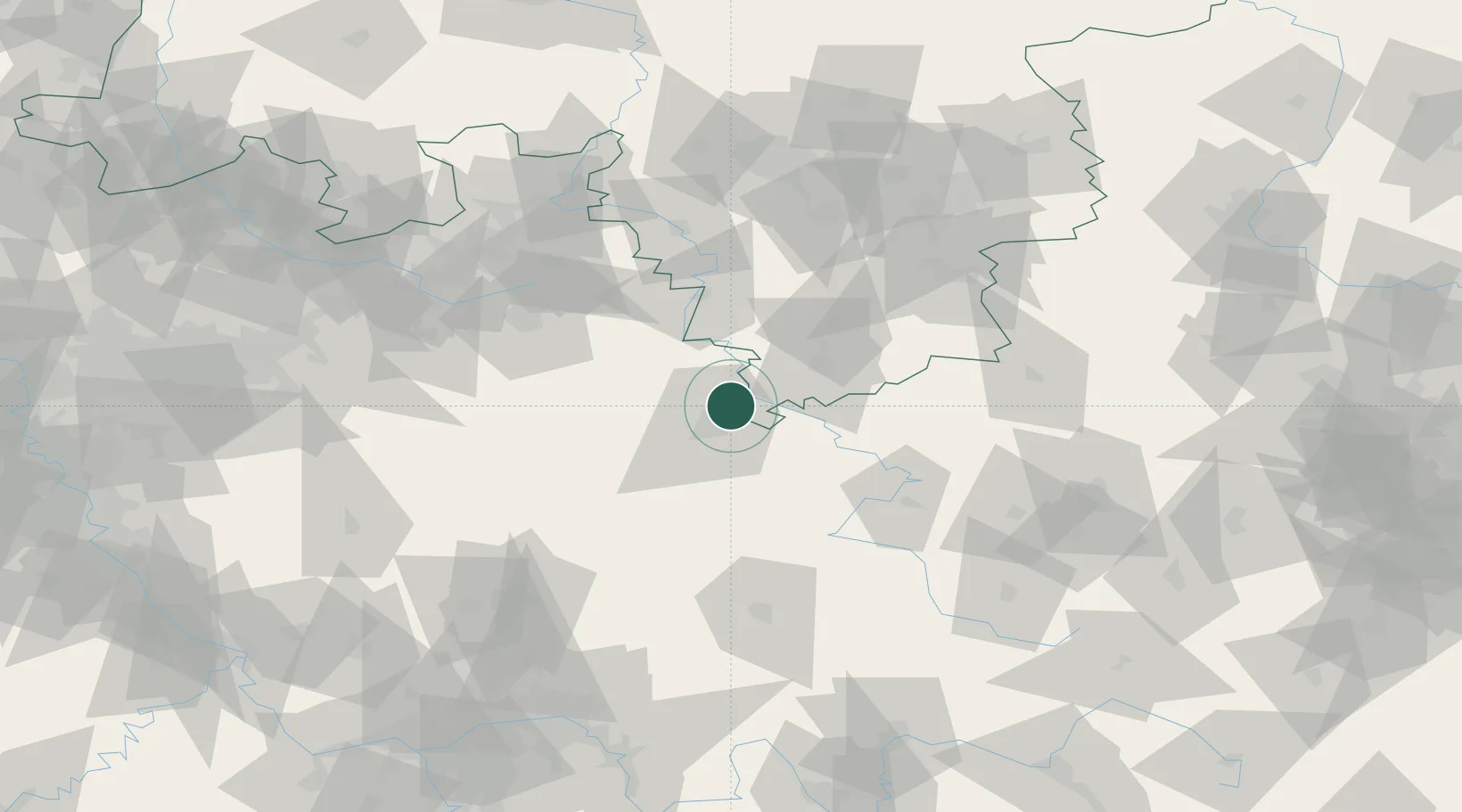
Location
Nearby Logistics Neighbours
Cities
- 1Niestetal7 km
- 2Vellmar8 km
- 3Hannoversch Münden9 km
- 4Reinhardshagen11 km
- 5Kaufungen12 km
Airports
- 1Kassel Airport13 km
- 2Fritzlar Army Airfield36 km
- 3Paderborn Lippstadt Airport71 km
- 4Eisenach-Kindel Airport77 km
- 5Bielefeld Airport96 km
Trade Zones
DatabookThe Record of Consolidated Knowledge
Germany beyond logistics?