Transport Functions
Multimodal
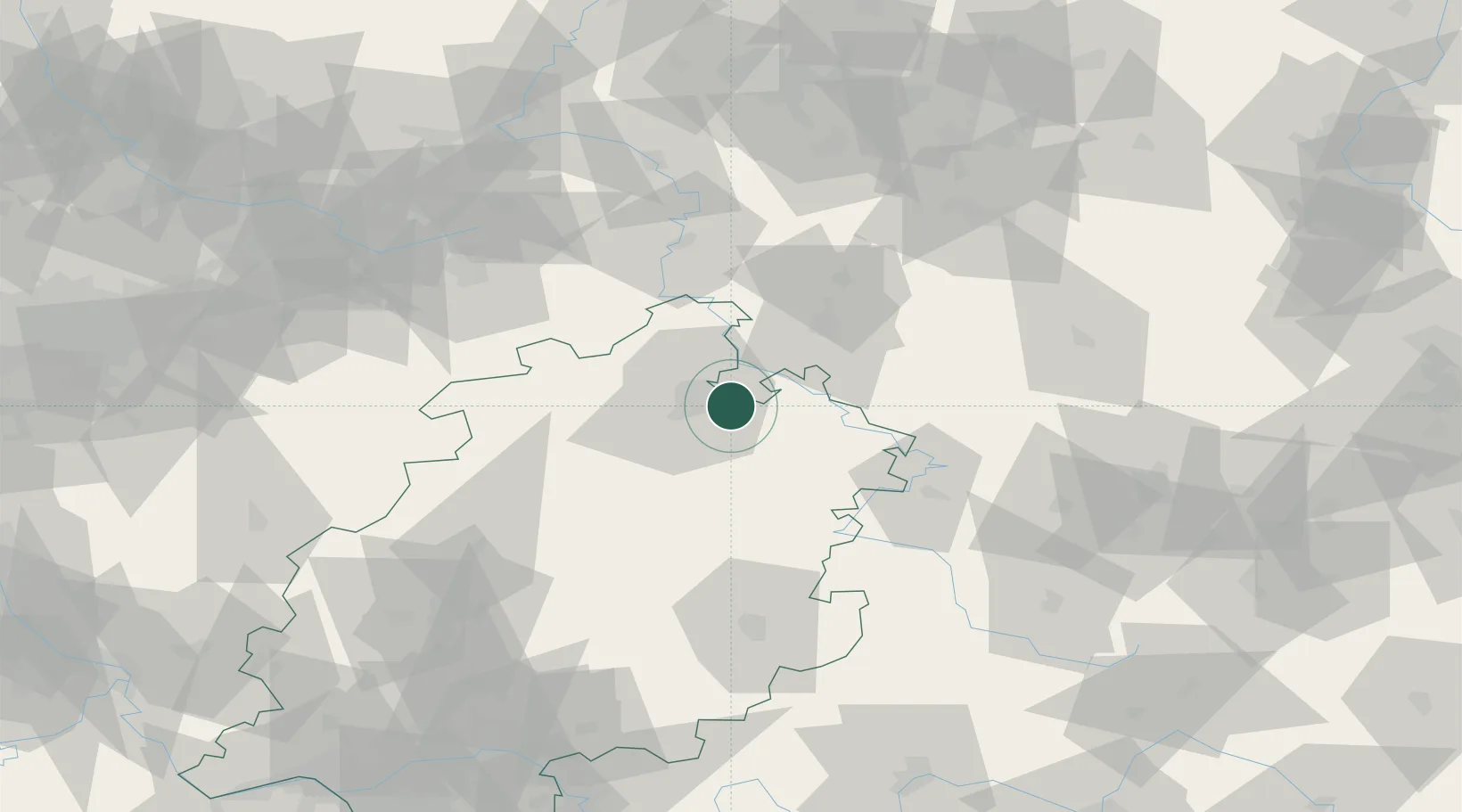
Hub Profile
Place type
Local administrative seat
Region
Hesse
Population
12,683
Time zone
Europe/Berlin
Elevation
212 m
Location
Nearby Logistics Neighbours
Airports
- 1Kassel Airport22 km
- 2Fritzlar Army Airfield30 km
- 3Eisenach-Kindel Airport68 km
- 4Paderborn Lippstadt Airport78 km
- 5Erfurt-Weimar Airport100 km
Trade Zones
- 1Freeport of Bremerhaven (Freihafen Bremerhaven)209 km
- 2Freeport of Duisburg211 km
- 3Rheinische Revier SWZ230 km
- 4Freeport of Emden282 km
- 5Podbořany Industrial Zone291 km
DatabookThe Record of Consolidated Knowledge
Germany beyond logistics?