UN/LOCODE hub · Germany
DEAML

Amelsbüren

51.8833°, 7.6000°
3
Transport functions

Transport Functions

Port
Rail
Road
UN/LOCODE

Hub Profile

Region
NW
GeoNames

Location

Location of DEAML
Natural Earth 10m (public domain) · NW · DEAML · 51.88, 7.60GoogleOSMYandex

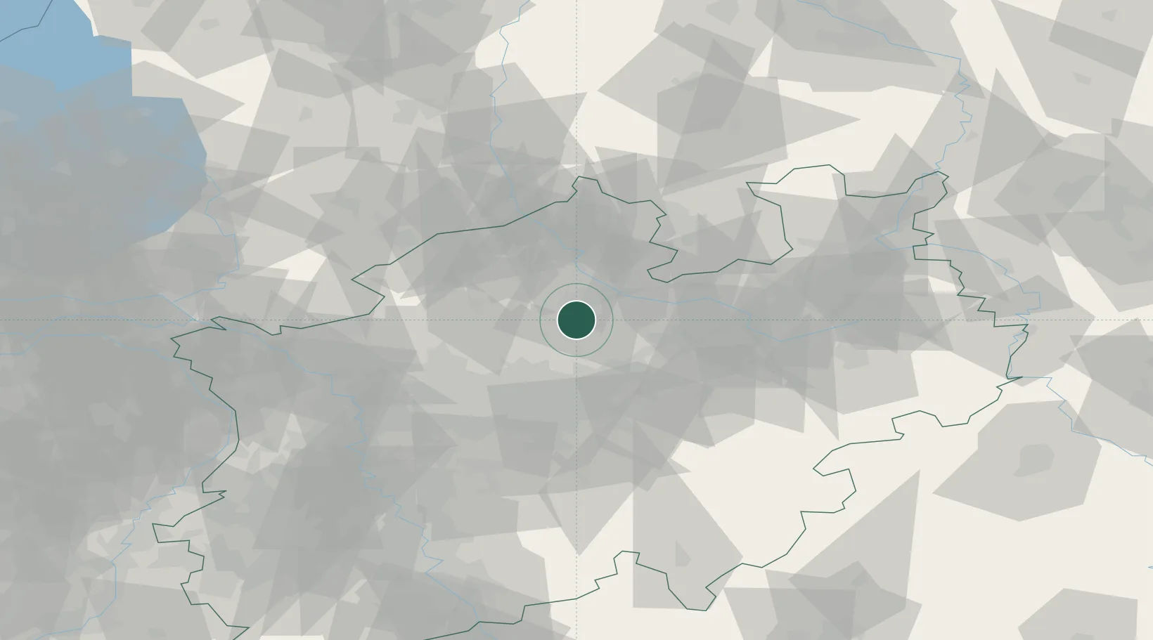
Nearby Logistics Neighbours

Cities
  1. 1Hiltrup3 km
  2. 2Münster10 km
  3. 3Drensteinfurt13 km
  4. 4Hiddingsel15 km
  5. 5Nordkirchen17 km
Nearest neighbours — logibook spatial index (haversine) over the source coordinates
Ports
  1. 1Papenburg136 km
  2. 2Oldenburg143 km
  3. 3Leer151 km
  4. 4Bremen160 km
  5. 5Elsfleth161 km
Nearest neighbours — logibook spatial index (haversine) over the source coordinates
Airports
  1. 1Münster Osnabrück Airport29 km
  2. 2Dortmund Airport41 km
  3. 3Twente Airport65 km
  4. 4Bielefeld Airport65 km
  5. 5Paderborn Lippstadt Airport76 km
Nearest neighbours — logibook spatial index (haversine) over the source coordinates
Trade Zones
  1. 1Freeport of Duisburg85 km
  2. 2Rheinische Revier SWZ137 km
  3. 3Freeport of Bremerhaven (Freihafen Bremerhaven)156 km
  4. 4Freeport of Emden164 km
  5. 5Freeport of Cuxhaven (Freihafen Cuxhaven)226 km
Nearest neighbours — logibook spatial index (haversine) over the source coordinates
DatabookThe Record of Consolidated Knowledge
Germany beyond logistics?
Browse databook

All Sources

LocationsUN/LOCODE
UN/LOCODE — free
Portsthe NGA World Port Index
Public domain (US gov)
AirportsOurAirports
Public domain
Trade Zonesthe World Bank SEZ database
CC BY 4.0
Trade ZonesOpen Zone Map
CC BY
← Germany locations