Transport Functions
Rail
Road
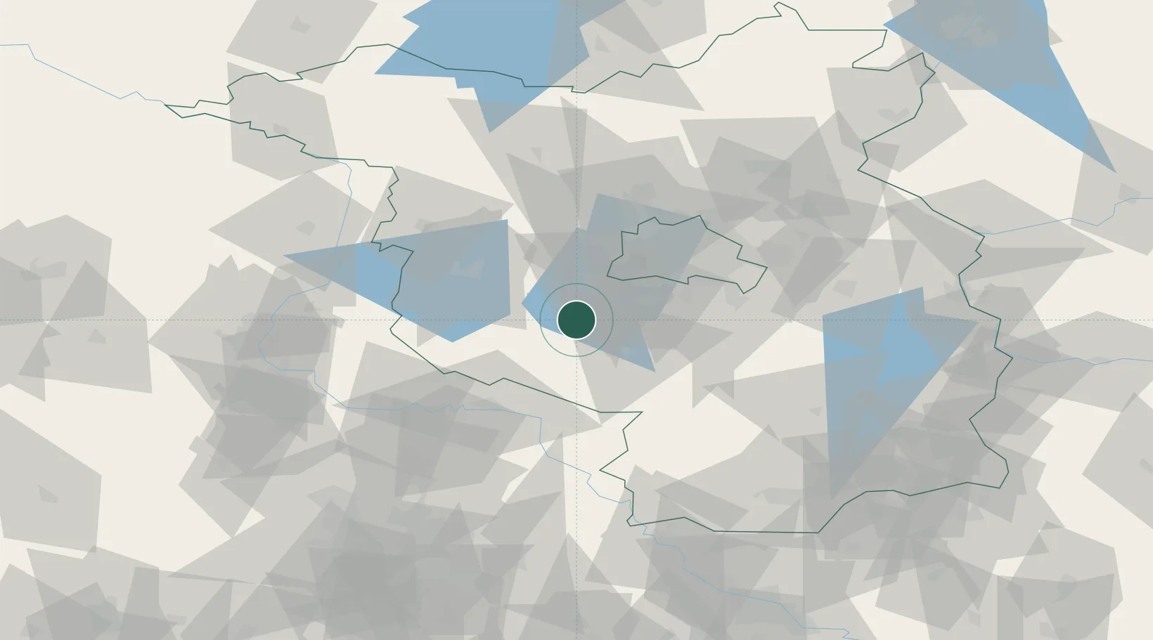
Hub Profile
Place type
Populated place
Region
Brandenburg
Population
12,475
Time zone
Europe/Berlin
Elevation
40 m
Location
Nearby Logistics Neighbours
Cities
- 1Neuseddin6 km
- 2Ferch8 km
- 3Borkheide8 km
- 4Alt Bork9 km
- 5Michendorf11 km
Ports
- 1Szczecin169 km
- 2Police183 km
- 3Swinoujscie206 km
- 4Wolgast209 km
- 5Wismar211 km
Airports
- 1Berlin Brandenburg Airport39 km
- 2Holzdorf Air Base54 km
- 3Zerbst Airfield62 km
- 4Leipzig/Halle Airport104 km
- 5Dresden Airport134 km
Trade Zones
- 1Kostrzyń-Słubice SEZ120 km
- 2Szczecin Duty Free Zone171 km
- 3Most - Joseph Industrial Zone200 km
- 4Swinoujscie Duty Free Zone205 km
- 5Žatec - Triangle Strategic Industrial Zone208 km
DatabookThe Record of Consolidated Knowledge
Germany beyond logistics?