Transport Functions
Port
Road
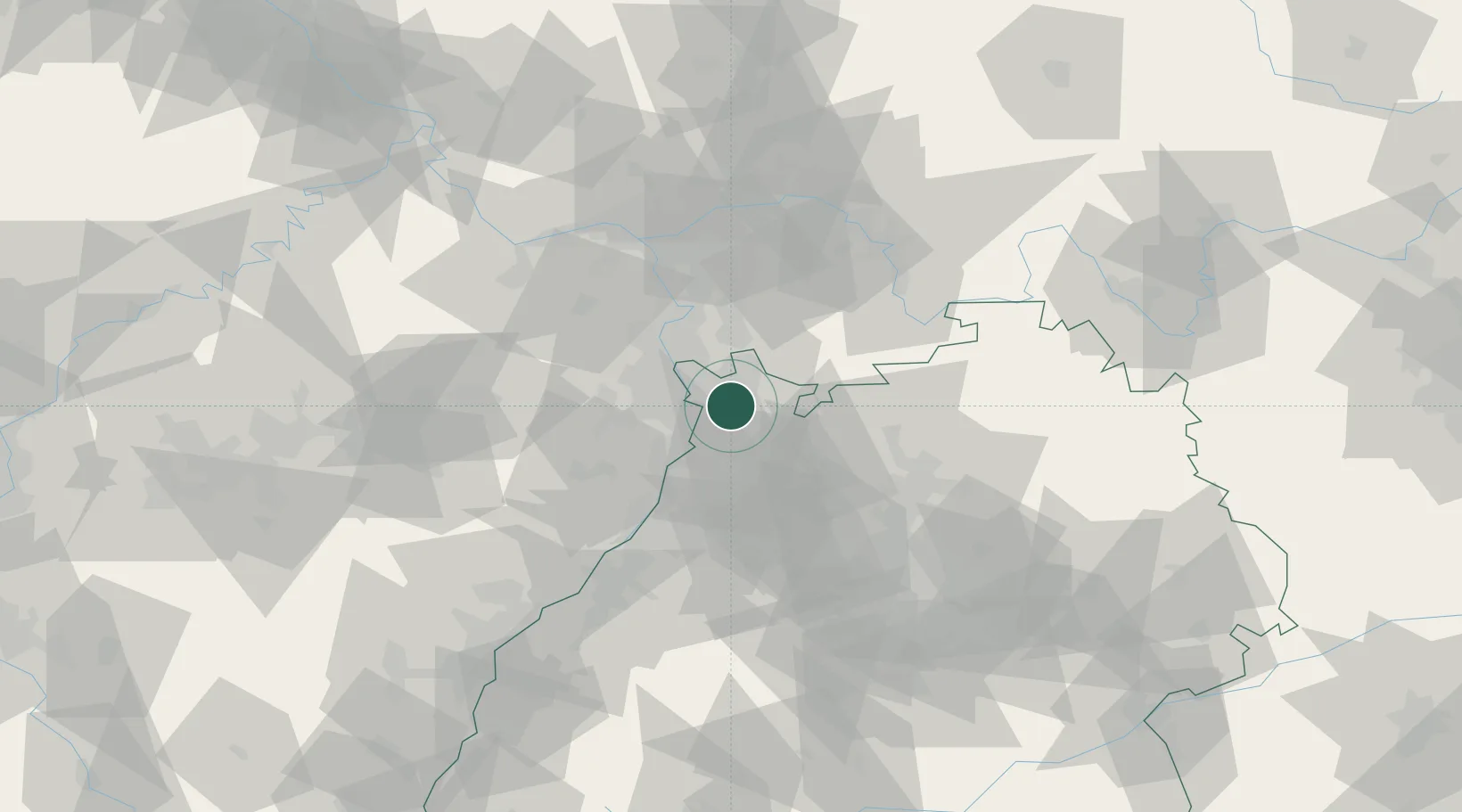
Hub Profile
Place type
Urban district
Region
Baden-Wurttemberg
Time zone
Europe/Berlin
Elevation
108 m
Location
Nearby Logistics Neighbours
Cities
- 1Edingen-Neckarhausen2 km
- 2Leutershausen7 km
- 3Heidelberg8 km
- 4Oftersheim8 km
- 5Hirschberg8 km
Airports
- 1Mannheim-City Airport8 km
- 2Frankfurt-Egelsbach Airport59 km
- 3Frankfurt Main Airport66 km
- 4Mainz-Finthen Airfield68 km
- 5Wiesbaden Army Airfield71 km
Trade Zones
- 1ZFU Hautepierre114 km
- 2ZFU Neuhof117 km
- 3ZFU La Cité Behren-lès-Forbach125 km
- 4Luxembourg Free Port173 km
- 5ZFU Woippy-Metz181 km
DatabookThe Record of Consolidated Knowledge
Germany beyond logistics?