Transport Functions
Port
Rail
Road
Airport
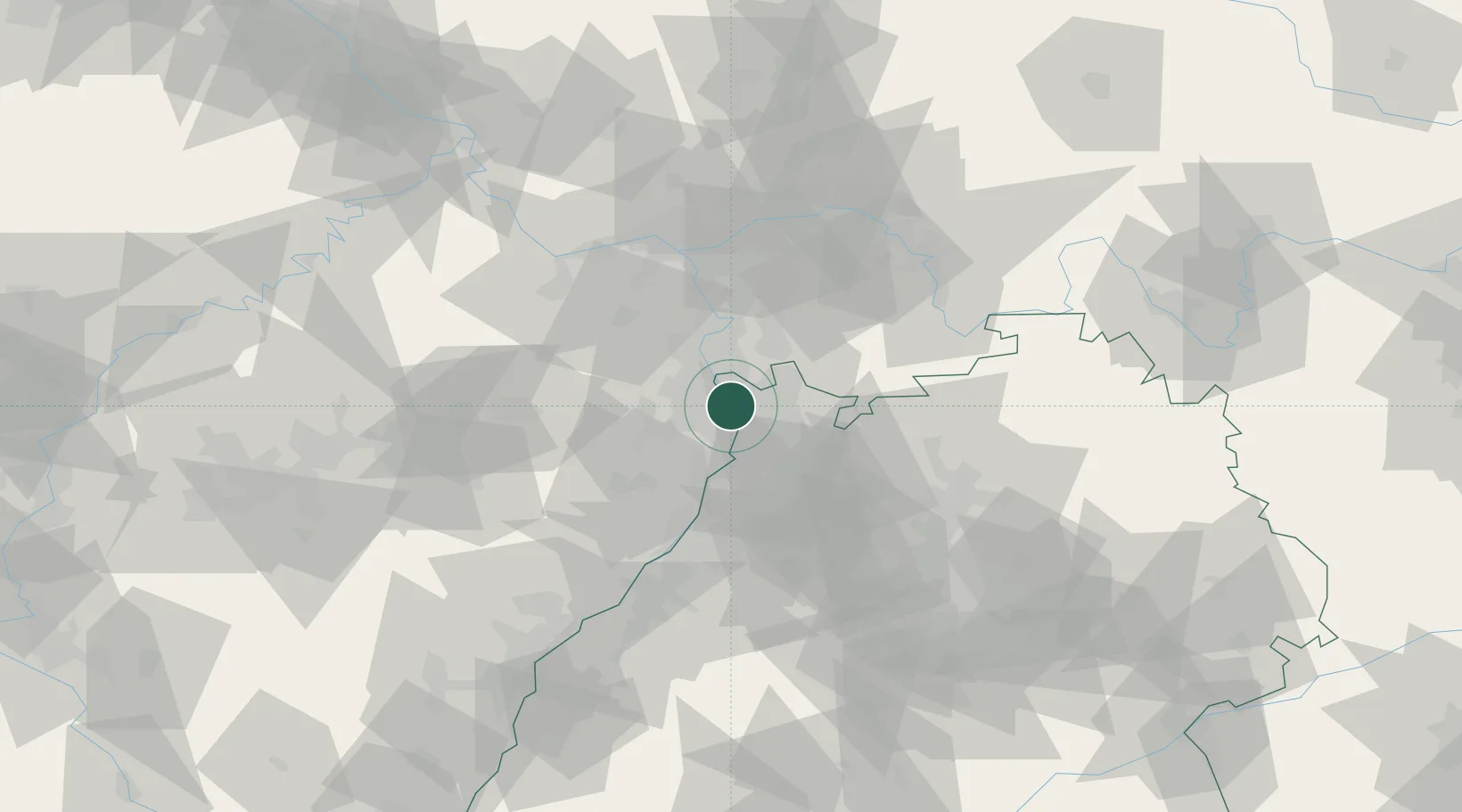
Hub Profile
Place type
District seat
Region
Baden-Wurttemberg
Population
307,960
Time zone
Europe/Berlin
Elevation
100 m
Logistics facilities
8
Location
Nearby Logistics Neighbours
Cities
- 1Neckarau3 km
- 2Neuhofen7 km
- 3Ludwigshafen9 km
- 4Limburgerhof9 km
- 5Viernheim10 km
Airports
- 1Mannheim-City Airport4 km
- 2Frankfurt-Egelsbach Airport56 km
- 3Mainz-Finthen Airfield60 km
- 4Frankfurt Main Airport62 km
- 5Ramstein Air Base63 km
Trade Zones
- 1ZFU Hautepierre113 km
- 2ZFU Neuhof116 km
- 3ZFU La Cité Behren-lès-Forbach117 km
- 4Luxembourg Free Port163 km
- 5ZFU Woippy-Metz172 km
DatabookThe Record of Consolidated Knowledge
Germany beyond logistics?