Transport Functions
Rail
Road
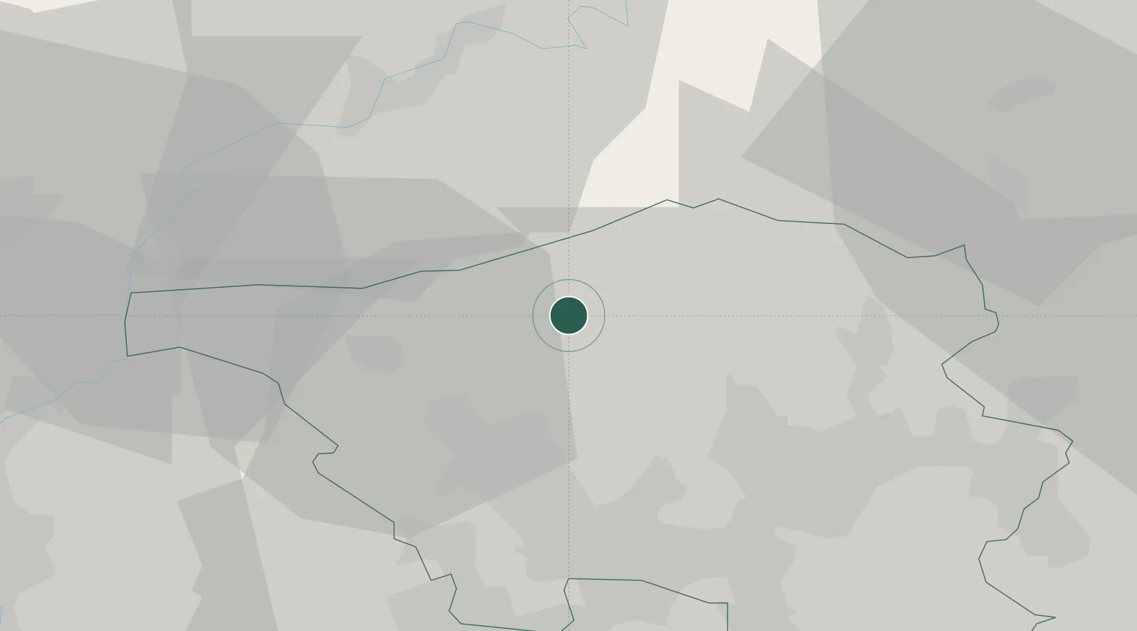
Hub Profile
Place type
Populated place
Region
Saarland
Time zone
Europe/Berlin
Elevation
262 m
Location
Nearby Logistics Neighbours
Cities
- 1Mandern12 km
- 2Nalbach14 km
- 3Eppelborn15 km
- 4Mettlach17 km
- 5Rehlingen-Siersburg17 km
Airports
- 1Saarbrücken Airport38 km
- 2Luxembourg-Findel International Airport47 km
- 3Spangdahlem Air Base54 km
- 4Ramstein Air Base56 km
- 5Frankfurt-Hahn Airport58 km
Trade Zones
- 1ZFU La Cité Behren-lès-Forbach38 km
- 2Luxembourg Free Port47 km
- 3ZFU Woippy-Metz63 km
- 4ZFU Metz66 km
- 5ZFU Maxéville, Laxou, et de Nancy101 km
DatabookThe Record of Consolidated Knowledge
Germany beyond logistics?